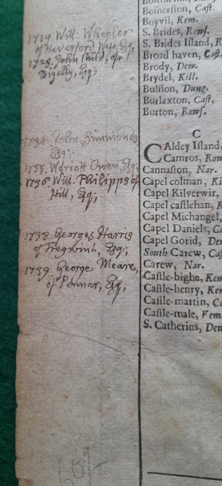
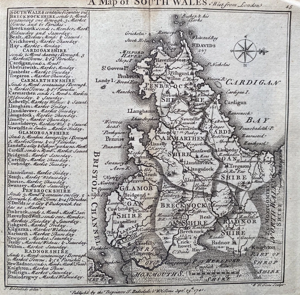
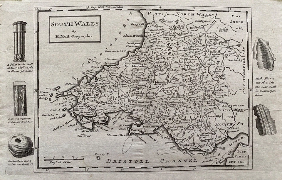
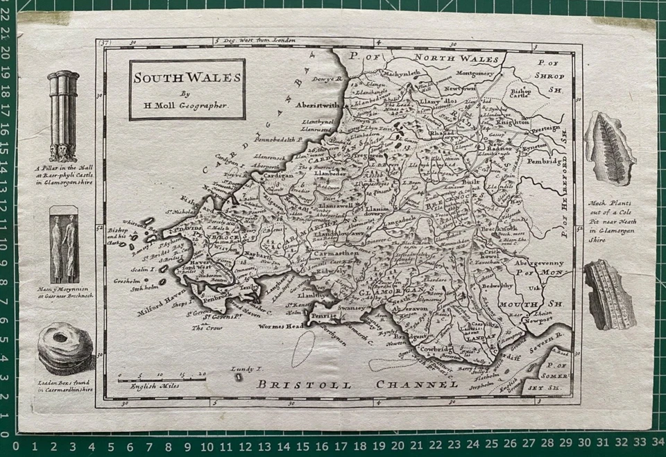
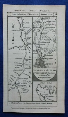
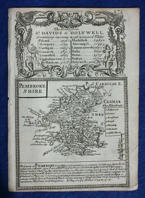
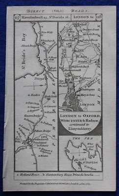
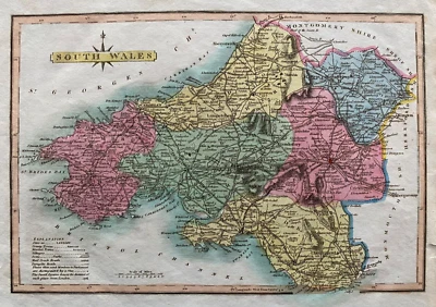
Pembrokeshire Antique Europe Sheet Maps
SPONSOREDSPONSOREDSPONSOREDSPONSOREDSPONSOREDSPONSORED
28 results
Vintage Admiralty Charts 1960s-1980’s
£7.50£7.00 postage24 watching100's of Admiralty Charts (the pVintage Admiralty and other Charts 1940's-2010's
£7.50or Best Offer£3.99 postagePembrokeshire – Geological Map - 1961
£10.000 bidsFree postageEnding 27 May at 5:09PM BST5d 9hPEMBROKESHIRE, WALES, Saxton & Kip, Camden Original antique map 1637
£185.00Click & CollectVINTAGE ADMIRALTY CHART. No.2878. APPROACHES TO MILFORD HAVEN. 1925 Edition.
£49.00Click & Collector Best OfferFree postageTENBY, WALES, Town & Street Plan, Dawson Original antique map 1832
£22.00Click & CollectFree postageOriginal antique map from 'Britannia Depicta', PEMBROKESHIRE, Bowen, c.1724
£21.00Click & CollectANTIQUE ADMIRALTY CHART. No.1488. St. ANNS HEAD to St. BRIDES BAY. 1925 Edn.
£49.00Click & Collector Best OfferFree postageANTIQUE ADMIRALTY CHART. No.3580. FISHGUARD BAY, WALES. 1906 Edition.
£49.00Click & Collector Best OfferFree postageLarge Vintage Grid Map Of Skokholm Island, Wales
£19.00Click & Collector Best Offer£4.19 postageVINTAGE ADMIRALTY CHART. No.1825b, IRISH CHANNEL, SHEET II. 1920 Edition.
£49.00Click & Collector Best OfferFree postagePembrokeshire Carmarthanshire John Senex Road Map copper plate 1767
£24.00Click & CollectOriginal antique road map BRECON, CARMARTHEN, PEMBROKESHIRE, Paterson 1785
£17.00Click & CollectVINTAGE ADMIRALTY CHART. No.1076. St GOVENS HEAD to THE MUMBLES. 1888 Edition.
£49.00Click & Collector Best OfferFree postageSet of Four Victorian Welsh County Maps by William Mackenzie Showing The Unions
£25.00Click & Collector Best OfferFree postagePEMBROKE, WALES, Street Plan, Dawson Original antique hand coloured map 1832
£48.00Click & CollectFree postageCARNSORE Pt. to BRAICH-Y-PWLL, St. GEORGES CH. 1954 ADMIRALTY SEA CHART No.1410
£17.00Click & Collector Best Offer£5.80 postageOriginal antique road map BRECON, CARMARTHEN, PEMBROKE, Paterson, 1785
£17.00Click & Collect1833 Antique Map; South Wales by Robert Scott
£14.99Click & Collect£1.95 postageVintage Ordnance Survey "Paper" one inch map 138 Fishguard
£7.99Click & Collector Best Offer£2.30 postageOriginal antique road map PEMBROKESHIRE, MIDDLESEX, UXBRIDGE, Paterson 1785
£17.00Click & Collect1819 Antique Map; South Wales by James Wallis, Ellis's New & Correct Atlas
£24.99Click & Collect£1.95 postageOriginal antique road map, PEMBROKE, MIDDLESEX, BUCKINGHAMSHIRE, Paterson, 1785
£17.00Click & Collect1840s Rare Antique Original Pembrokeshire County Map Archer Dugdales Print Wales
£17.96Click & Collector Best Offer1724 Antique Map; South Wales by Herman Moll
£89.99Click & Collect£3.90 postage1883 MAP WALES SOUTH PEMBROKESHIRE TENBY SWANSEA FISHGUARD MILFORD CARMARTHEN
£48.00Click & Collector Best Offer£3.50 postageAntique map of Wales by G Hole, 1607
£149.99Collection in person
You may also like
More to explore
- Bacon Map London in Antique Europe Maps & Atlases
- Bacon Map in Antique Europe Maps & Atlases
- Bromley Map in Antique Europe Maps & Atlases
- East Yorkshire Map
- Fox Hunting Maps
- Geographia Map in Antique Europe Maps & Atlases
- Great Yarmouth Map
- Hull Map in Antique Europe Maps & Atlases
- Jersey Map in Antique Europe Maps & Atlases
- Lambeth Map
- Linen Map in Antique Europe Maps & Atlases
- Map Cheltenham in Antique Europe Maps & Atlases
- Moule Maps
- Northern Ireland Map in Antique Europe Maps & Atlases
- Old Bristol Map
- Ordnance Survey Lake District in Antique Europe Maps & Atlases
- Philips Map in Antique Europe Maps & Atlases
- Plymouth Map in Antique Europe Maps & Atlases
- River Thames Map in Antique Europe Maps & Atlases
- Robert Morden Maps
- Saxon Map
- Saxton Map
- Scarborough Map in Antique Europe Maps & Atlases
- Vintage Michelin Maps in Antique Europe Maps & Atlases
- War Office Map in Antique Europe Maps & Atlases