Picture 1 of 1
Gallery
Picture 1 of 1
Have one to sell?
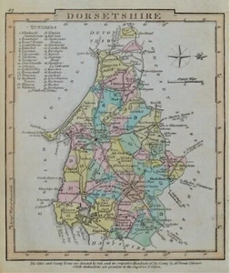
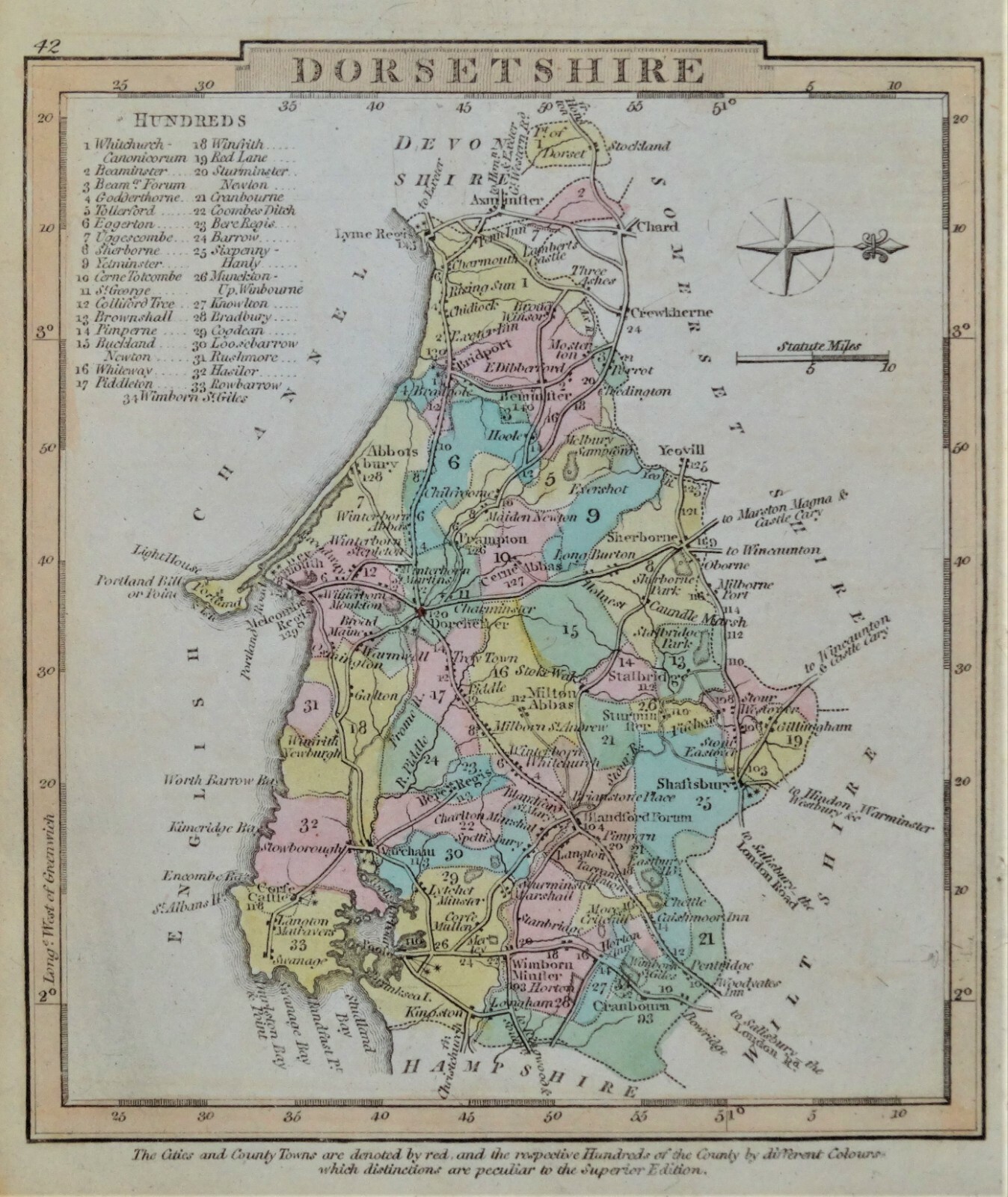
DORSET, George Gray, Original Hand Coloured Antique County Map 1824

£28.00
Condition:
“used”
- Buy it nowDORSET, George Gray, Original Hand Coloured Antique County Map 1824
Oops! Looks like we're having trouble connecting to our server.
Refresh your browser window to try again.
Postage:
£9.50 Royal Mail International Standard.
Located in: Shrewsbury, United Kingdom
Delivery:
Estimated between Mon, 4 Aug and Sat, 16 Aug to 94104
Returns:
30 days return. Buyer pays for return postage. If you use an eBay delivery label, it will be deducted from your refund amount.
Payments:
Get more time to pay. See payment informationfor PayPal Credit - opens in a new window or tab
Shop with confidence
Seller assumes all responsibility for this listing.
eBay item number:125041008445
Item specifics
- Seller notes
- “used”
- Antique
- Yes
- County
- Dorset
- Cartographer/Publisher
- George Gray
- Printing Technique
- Copper Plate
- Date Range
- 1800-1899
- Original/Reproduction
- Antique Original
- Country/Region
- British Isles, England
- Era
- 1800s
- Format
- county Map
- Type
- County Map
- Year
- 1824
Item description from the seller
Seller business information
About this seller

LINDISFARNE ANTIQUE PRINTS AND MAPS
100% positive Feedback•26K items sold
Registered as a business seller
Seller Feedback (19,049)
- e***l (485)- Feedback left by buyer.Past monthVerified purchaseVery nice map in good condition as described. Dispatched quickly and very securely packaged. Prices seem fair when compared to many others about the web. Highly recommended!
- l***s (7044)- Feedback left by buyer.Past monthVerified purchaseLovely item, as described, immaculately packed and swiftly delivered - recommended seller 👍
- g***a (4226)- Feedback left by buyer.Past monthVerified purchaseGoods exactly as described, good communications – recommended seller
More to explore:
- Dorset Antique Europe County Maps,
- Dorset County Map Antique Europe Atlas Maps,
- Antique Original Antique County Maps,
- Antique Original County Map Antique Folding Maps,
- Antique Original County Map Antique Atlas Maps,
- Antique Original County Map Antique Wall Maps,
- Dorset Antique Original Antique Europe Sheet Maps,
- Dorset 1800-1899 Date Range Antique Europe County Maps,
- Dorset 1700-1799 Date Range Antique Europe County Maps,
- Herefordshire Antique Original Antique Europe County Maps
LINDISFARNE ANTIQUE PRINTS AND MAPS
100% positive Feedback•26K items sold
Registered as a business seller
Seller Feedback (19,049)
- e***l (485)- Feedback left by buyer.Past monthVerified purchaseVery nice map in good condition as described. Dispatched quickly and very securely packaged. Prices seem fair when compared to many others about the web. Highly recommended!
- l***s (7044)- Feedback left by buyer.Past monthVerified purchaseLovely item, as described, immaculately packed and swiftly delivered - recommended seller 👍
- g***a (4226)- Feedback left by buyer.Past monthVerified purchaseGoods exactly as described, good communications – recommended seller