
Picture 1 of 3


Picture 1 of 3


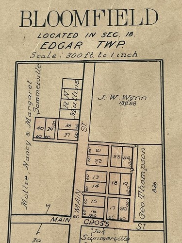
Illinois Map~ Bloomfield Township Edgar Town TWP. 1910 map/plot

US $11.00
Approximately£8.76
or Best Offer
Condition:
Postage:
Located in: Kenosha, Wisconsin, United States
Delivery:
Estimated between Mon, 20 May and Fri, 24 May to 43230
Returns:
Payments:
Shop with confidence
Seller assumes all responsibility for this listing.
eBay item number:134642642931
Item specifics
- Date Range
- 1910-1919
- Type
- County Map
- US State
- Illinois
- Format
- Sheet Map
- Year
- 1910
- Original/Reproduction
- Vintage Original
- City
- Chicago
- Country/Region
- United States of America
Item description from the seller
Seller assumes all responsibility for this listing.
eBay item number:134642642931
Post to me
Item location:
Kenosha, Wisconsin, United States
Posts to:
Albania, Andorra, Anguilla, Antigua and Barbuda, Argentina, Armenia, Aruba, Australia, Austria, Azerbaijan Republic, Bahamas, Bahrain, Belgium, Belize, Bermuda, Bolivia, Bosnia and Herzegovina, Brunei Darussalam, Bulgaria, Canada, Cayman Islands, Colombia, Costa Rica, Cyprus, Czech Republic, Denmark, Ecuador, El Salvador, Estonia, Fiji, Finland, France, Georgia, Germany, Gibraltar, Greece, Greenland, Grenada, Guatemala, Guyana, Honduras, Hong Kong, Hungary, Iceland, India, Indonesia, Ireland, Israel, Italy, Japan, Jordan, Kazakhstan, Kiribati, Kyrgyzstan, Laos, Latvia, Liechtenstein, Lithuania, Luxembourg, Macau, Macedonia, Malaysia, Maldives, Malta, Mexico, Moldova, Monaco, Mongolia, Montenegro, Montserrat, Nauru, Netherlands, New Zealand, Nicaragua, Norway, Oman, Pakistan, Panama, Papua New Guinea, Paraguay, Peru, Philippines, Poland, Portugal, Qatar, Republic of Croatia, Romania, Saint Kitts-Nevis, Saint Lucia, Saint Vincent and the Grenadines, San Marino, Saudi Arabia, Serbia, Singapore, Slovakia, Solomon Islands, South Korea, Spain, Sweden, Taiwan, Thailand, Tonga, Trinidad and Tobago, Turkey, Turks and Caicos Islands, United Arab Emirates, United Kingdom, United States, Uruguay, Vanuatu, Vatican City State, Wallis and Futuna, Western Samoa
Excludes:
Afghanistan, Africa, Bangladesh, Barbados, Bhutan, Brazil, Cambodia, Chile, China, Dominican Republic, French Guiana, French Polynesia, Guadeloupe, Haiti, Iraq, Jamaica, Kuwait, Lebanon, Libya, Martinique, Nepal, New Caledonia, Reunion, Russian Federation, Saint Pierre and Miquelon, Slovenia, Sri Lanka, Suriname, Switzerland, Tajikistan, Turkmenistan, Ukraine, Uzbekistan, Venezuela, Vietnam
| Postage and packaging | To | Service | Delivery*See Delivery notes |
|---|---|---|---|
| US $1.55 (approx £1.23) | United States | Expedited Delivery (USPS Priority Mail®) | Estimated between Mon, 20 May and Fri, 24 May to 43230 |
| Dispatch time |
|---|
| Will usually dispatch within 2 working days of receiving cleared payment. |
| Taxes |
|---|
| Taxes may be applicable at checkout. Learn moreLearn more about paying tax on eBay purchases. |
Returns policy
| Return policy details |
|---|
| The seller won't accept returns for this item. |
Sellers may be required to accept returns for items that are not as described. Learn more about your rights as a buyer.
Refer to eBay return policyopens in a new tab or window for more details. You're covered by the eBay Money Back Guaranteeopens in a new tab or window if you receive an item that is not as described in the listing.
Payment details
Payment methods
Registered as a private seller
Thereby, consumer rights stemming from EU consumer protection law do not apply. eBay buyer protection still applies to most purchases.
Seller Feedback (2,262)
9***- (3)- Feedback left by buyer.
Past 6 months
Verified purchase
Well packaged!! Fast delivery!! Great seller!!
o***o (2733)- Feedback left by buyer.
Past month
Verified purchase
02MAY2024 Arrived in Excellent Condition and in Secure Packing as Always. Thank You☺‼
c***o (716)- Feedback left by buyer.
Past 6 months
Verified purchase
Nice, old postcards. Well packaged and fast shipping.
More to explore:
- Illinois Antique North America Wall Maps,
- Illinois Antique North America County Maps,
- Antique North American Maps & Atlases Illinois,
- Illinois Antique North America City Maps,
- Illinois Antique Original Antique North America Maps & Atlases,
- 1910-1919 Date Range Ordnance Survey Map Antique Folding Maps,
- 1910-1919 Date Range Ordnance Survey Map Antique Sheet Maps,
- 1910-1919 Antique Ordnance Survey Maps,
- Illinois Antique North America Maps & Atlases 1800-1899 Date Range,
- 1910-1919 Date Range Ordnance Survey Map Antique Europe Folding Maps