
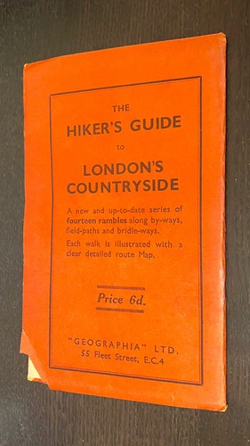
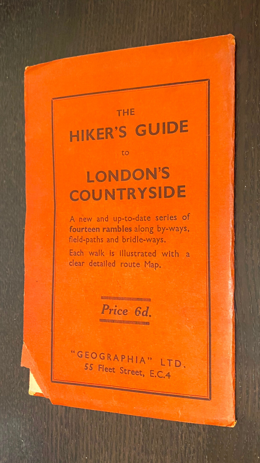
LARGE SCALE Detailed Street Plan London Suburbs (c1937) -- Large Folding Maps
US $24.99US $24.99
Thu, 14 Aug, 14:13Thu, 14 Aug, 14:13
Picture 1 of 4


Gallery
Picture 1 of 4


Have one to sell?
LARGE SCALE Detailed Street Plan London Suburbs (c1937) -- Large Folding Maps
US $24.99
Approximately£18.66
or Best Offer
Condition:
“Due to recent eBay changes, eBay provided item specifics MAY NOT BE ACCURATE. Accurate information ”... Read moreAbout condition
Oops! Looks like we're having trouble connecting to our server.
Refresh your browser window to try again.
Postage:
US $4.75 (approx £3.55) Economy Shipping.
Located in: Las Vegas, Nevada, United States
Delivery:
Estimated between Fri, 5 Sep and Mon, 8 Sep to 94104
Returns:
30 days return. Seller pays for return postage.
Payments:
Shop with confidence
Seller assumes all responsibility for this listing.
eBay item number:197581069852
Item specifics
- Seller notes
- Date Range
- 1930-1939
- Type
- Topographical Map
- Format
- Folding Map
- Printing Technique
- Lithography
- Year
- 1937
- Map View
- London
- Original/Reproduction
- Antique Original
- Cartographer/Publisher
- Aaron Arrowsmith
Item description from the seller
Seller business information
Seller Feedback
No Feedback yet
More to explore:
- London London Antique Europe Folding Maps,
- London Antique Europe Folding Maps,
- London City Map Antique Europe Folding Maps,
- London County Map Antique Europe Folding Maps,
- London Ordnance Survey Map Antique Europe Folding Maps,
- London 1800-1899 Date Range Antique Europe Folding Maps,
- Nautical Map Antique Folding Maps,
- Large Chinese Vase,
- Large Antique Chandeliers,
- County Map Antique Europe Folding Maps