Picture 1 of 9


Gallery
Picture 1 of 9


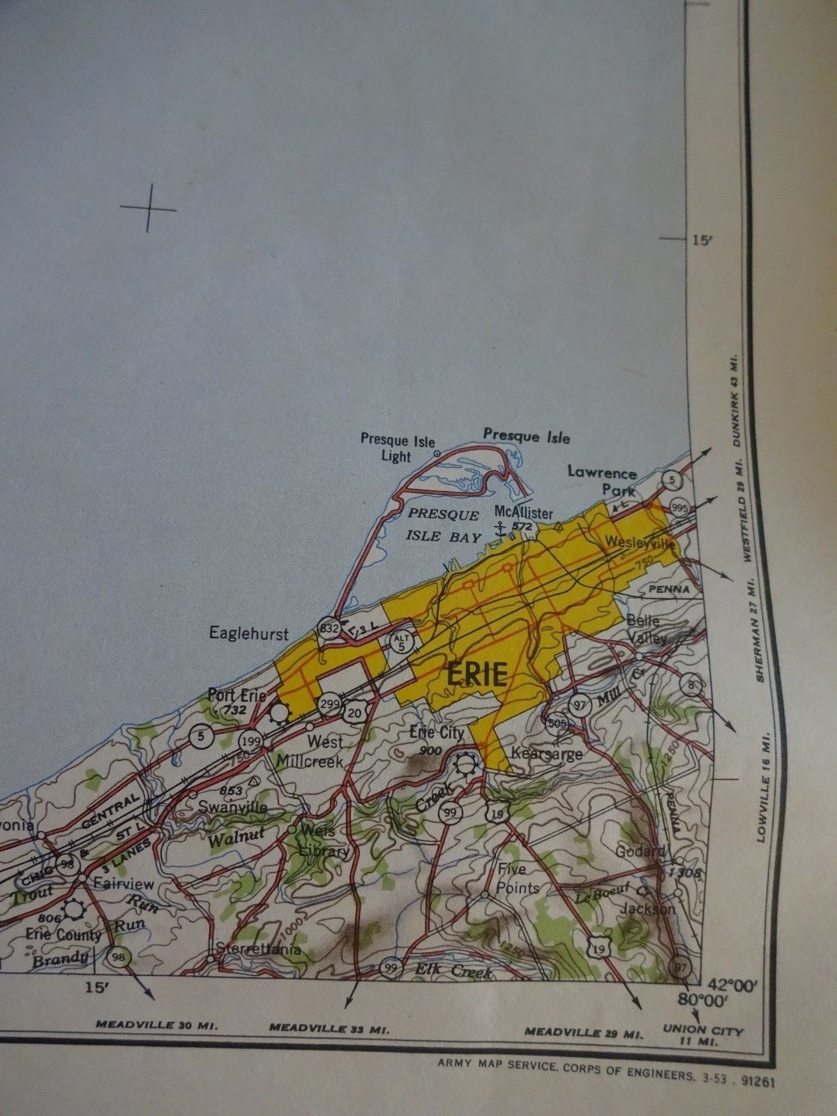


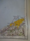
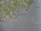
1950 - Large Geographic Map of Erie, PA, Lake Erie & Canada - Army Map Service
US $40.00
Approximately£30.08
or Best Offer
Condition:
- Buy it now1950 - Large Geographic Map of Erie, PA, Lake Erie & Canada - Army Map Service
Oops! Looks like we're having trouble connecting to our server.
Refresh your browser window to try again.
Collection:
Free collection in person from Rockville, Maryland, United States
Postage:
US $11.00 (approx £8.27) USPS Priority Mail®.
Located in: Rockville, Maryland, United States
Delivery:
Estimated between Fri, 9 May and Wed, 14 May to 43230
Returns:
60 days return. Buyer pays for return postage. If you use an eBay delivery label, it will be deducted from your refund amount.
Payments:
Shop with confidence
Seller assumes all responsibility for this listing.
eBay item number:221717507730
Item specifics
- Type
- Map
Item description from the seller
About this seller
CAC fine books art and collectibles
100% positive Feedback•8.4K items sold
Registered as a business seller
Popular categories from this shop
Seller Feedback (3,712)
- f***g (404)- Feedback left by buyer.Past monthVerified purchaseFair price. Honest, accurate condition description. Safe packaging and quick shipping. Thank you!
- r***g (1719)- Feedback left by buyer.Past monthVerified purchaseGreat seller...Fast shipping...As described...Well packaged...Very pleased with purchase...Thanks!!
- z***s (2129)- Feedback left by buyer.Past 6 monthsVerified purchaseVery accurate description. Very well packaged. Extremely rapid delivery. Excellent service. Thank you.Circa 1852 Levasseur Map of Department de la Hte Saone, France. Hand colored (#226093643159)
More to explore:
- 1950-1959 Date Range Nautical Map Antique Europe Folding Maps,
- 1950-1959 Date Range County Map Antique Europe Folding Maps,
- 1950-1959 Date Range Ordnance Survey Map Antique Folding Maps,
- 1950-1959 Date Range City Map Antique Europe Sheet Maps,
- 1950-1959 Date Range Ordnance Survey Map Antique Sheet Maps,
- 1950-1959 Antique Ordnance Survey Maps,
- 1950-1959 Date Range Ordnance Survey Map Antique Europe Sheet Maps,
- 1950-1959 Date Range Ordnance Survey Map Antique Europe Folding Maps,
- County Map Antique Folding Maps,
- Geological Map Antique Sheet Maps