
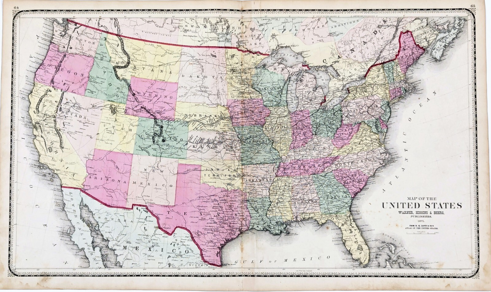
1871 UNITED STATES Map ORIGINAL (29x16) RAILROADS Indian Territory DATED Large
US $68.88US $68.88
Thu, 15 May, 02:53Thu, 15 May, 02:53
Picture 1 of 6


Gallery
Picture 1 of 6


Have one to sell?
1871 UNITED STATES Map ORIGINAL (29x16) RAILROADS Indian Territory DATED Large
US $68.88
Approximately£51.26
or Best Offer
Condition:
Oops! Looks like we're having trouble connecting to our server.
Refresh your browser window to try again.
Postage:
Free USPS Ground Advantage®.
Located in: Monroe, Georgia, United States
Delivery:
Estimated between Fri, 1 Aug and Fri, 8 Aug to 94104
Returns:
30 days return. Seller pays for return postage.
Payments:
Shop with confidence
Seller assumes all responsibility for this listing.
eBay item number:226687956987
Item specifics
- Date Range
- 1800-1899
- Type
- Railroad Map
- US State
- AL, FL, GA, MS, NC, SC, AR, IA, KS, LA, MO, NE, AZ, CA, CO, NM, NV, UT, CT, MA, ME, NH, RI, VT, DC, DE, MD, NJ, NY, PA, OK, TX, VA, WV, KY, TN
- Format
- Atlas Map
- Printing Technique
- Lithography
- Year
- 1871
- Original/Reproduction
- Antique Original
- Cartographer/Publisher
- H. H. LLOYD, WARNER HIGGINS AND BEERS
- City
- Houston
- Country/Region
- United States of America
Item description from the seller
About this seller
selsa84
100% positive Feedback
Registered as a private sellerThereby, consumer rights stemming from EU consumer protection law do not apply. eBay buyer protection still applies to most purchases.
Seller Feedback
No Feedback yet
More to explore:
- Antique Original Antique Railroad Maps,
- 1920-1929 Date Range Antique Railroad Maps,
- 1800-1899 Date Range Antique Railroad Maps,
- Antique Original Antique Europe Railroad Maps,
- 1900-1909 Date Range Antique Railroad Maps,
- Antique Europe Railroad Maps,
- Antique World Railroad Maps,
- Railroad Map Antique Europe Folding Maps,
- California Antique North America Railroad Maps,
- Original Indian Antiques