Picture 1 of 4


Gallery
Picture 1 of 4


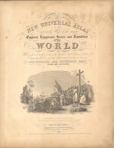
1850 Kentucky by Mitchell antique map ~17.4" x 13.6" Hand colored - Pastel
US $115.00
Approximately£84.48
Condition:
- Buy it now1850 Kentucky by Mitchell antique map ~17.4" x 13.6" Hand colored - Pastel
Oops! Looks like we're having trouble connecting to our server.
Refresh your browser window to try again.
Postage:
US $7.00 (approx £5.14) USPS Ground Advantage®.
Located in: Jacksonville, Florida, United States
Delivery:
Estimated between Wed, 18 Jun and Thu, 26 Jun to 94104
Returns:
30 days return. Buyer pays for return postage. If you use an eBay delivery label, it will be deducted from your refund amount.
Payments:
Shop with confidence
Seller assumes all responsibility for this listing.
eBay item number:256946081118
Item specifics
- Date Range
- 1800-1899
- Type
- Physical Map
- Format
- Atlas Map
- Mexican State
- None
- US State
- Kentucky
- Canadian Province
- None
- Year
- 1850
- Original/Reproduction
- Antique Original
- Cartographer/Publisher
- Samuel Augustus Mitchell
- City
- Louisville
- Country/Region
- United States of America
Item description from the seller
About this seller
Uniquities4u
100% positive Feedback•3.0K items sold
Registered as a private sellerThereby, consumer rights stemming from EU consumer protection law do not apply. eBay buyer protection still applies to most purchases.
Popular categories from this shop
Seller Feedback (1,538)
- b***b (1610)- Feedback left by buyer.Past monthVerified purchaseSeller was a big help in sorting out the stupidity of the USPS and their "tracking" the delivery as it sat at the various post offices. There shipping time was completely screwed up by USPS. It finally arrived today, 19 days after being sent on May 4. The map was carefully packed and arrived in better-than-expected condition. It was accurately described with clear & beautiful colors. Well worth the price.
- i***a (99)- Feedback left by buyer.Past monthVerified purchaseThe Stein was as advertised and in perfect condition. It was packaged well, shipped quickly, and was at a fair price. I would do business with this seller again!
- s***s (319)- Feedback left by buyer.Past 6 monthsVerified purchaseNice seller and great communication, product as described, was well packaged and shipped out the next day.. would buy from again.
More to explore:
- Kentucky Antique North America City Maps,
- Kentucky Antique North America Maps & Atlases,
- Kentucky Antique Original Antique North American Maps & Atlases,
- Kentucky Antique North America Maps & Atlases 1800-1899 Date Range,
- Manuscript/Hand drawn Antique Maps, Atlases & Globes,
- Antique Original County Map Antique Wall Maps,
- Antique Chairs 1850-1899,
- 1850-1899 Antique Woodenware,
- 1850-1899 Antique Treen,
- 1850-1899 Ethnographic Antiques