Picture 1 of 12


Gallery
Picture 1 of 12

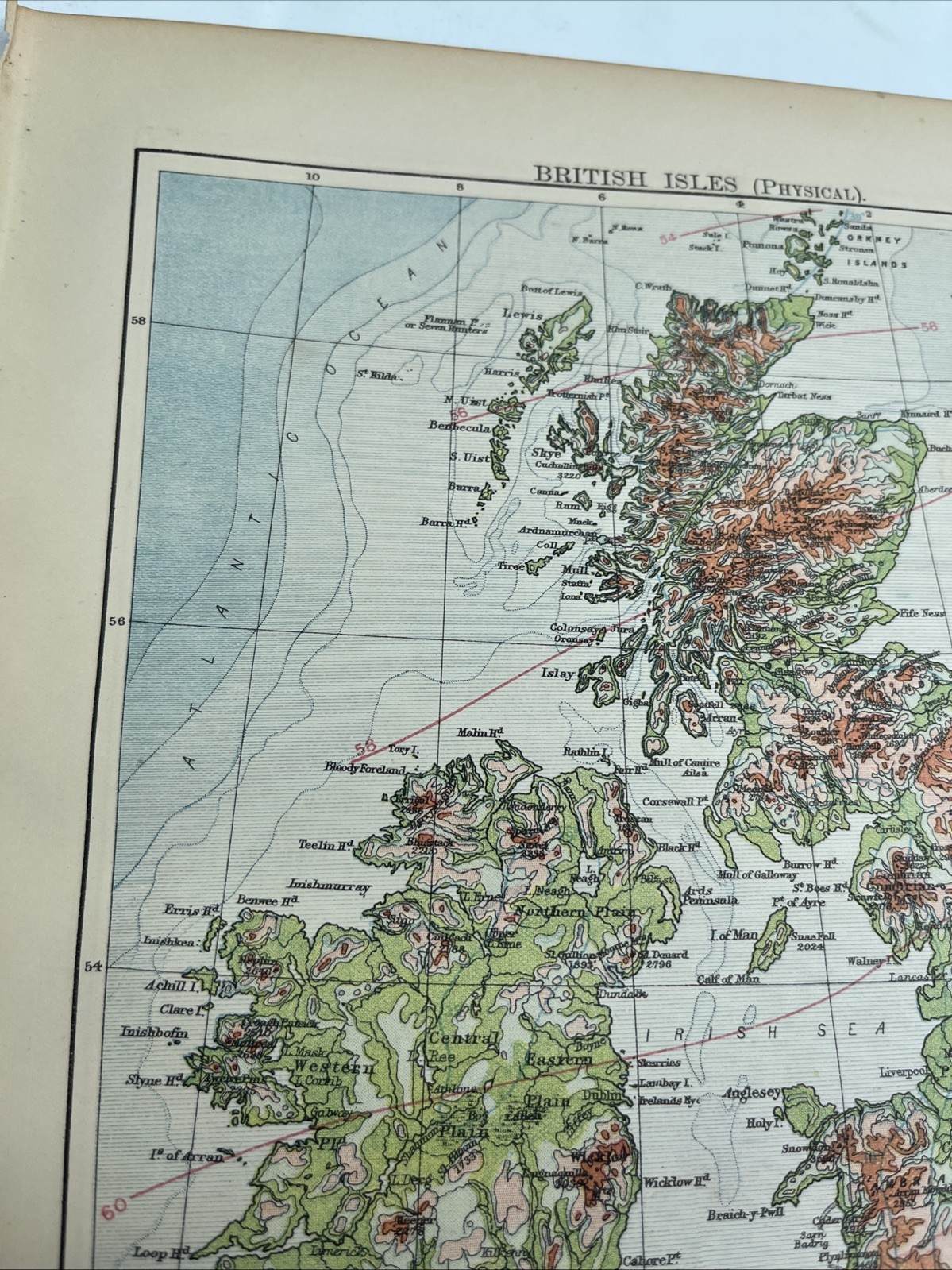


1902: Map Of British Isles Physical & Spain & Portugal WW #24 Antique Print
£21.21
or Best Offer
Condition:
- Buy it now1902: Map Of British Isles Physical & Spain & Portugal WW #24 Antique Print
Oops! Looks like we're having trouble connecting to our server.
Refresh your browser window to try again.
Postage:
Located in: Evington, Leicestershire, United Kingdom
Delivery:
Varies
Returns:
No returns accepted.
Payments:
Get more time to pay. See payment informationfor PayPal Credit - opens in a new window or tab
Shop with confidence
Seller assumes all responsibility for this listing.
eBay item number:277083082927
Item specifics
- Date Range
- 1900-1909
- Antique
- Yes
- Type
- Physical Map
- Format
- Sheet Map
- Year
- 1902
- Era
- 1900s
- Original/Reproduction
- Antique Original
- Cartographer/Publisher
- Alexander K. Johnston
Item description from the seller
About this seller
hiddentreasure-uk
99% positive Feedback•5.3K items sold
Registered as a private sellerThereby, consumer rights stemming from EU consumer protection law do not apply. eBay buyer protection still applies to most purchases.
Seller Feedback (1,961)
- *****- Feedback left by buyer.Past 6 monthsVerified purchaseItem good as described. Well packaged. Communication good over problem of Royal Mail tardiness ( not seller's fault at all). Overall I can recommend Royal Mail notwithstanding.
- *****- Feedback left by buyer.Past 6 monthsVerified purchaseFast shipping, great packaging, and item as described. Good value for this item. Thank you!
- *****- Feedback left by buyer.Past 6 monthsVerified purchasePromptly dispatched and well packaged. As described and photographed. I would recommend this seller.
More to explore:
- Antique Physical Maps,
- Physical Map Antique Sheet Maps,
- Physical Map Antique Folding Maps,
- Physical Map Antique Atlas Maps,
- Antique Europe Physical Maps,
- Antique Africa Physical Maps,
- Antique World Physical Maps,
- Physical Map Antique Africa Wall Maps,
- Antique Australia/Oceania Physical Maps,
- Antique South America Physical Maps