Picture 1 of 9


Gallery
Picture 1 of 9


Have one to sell?
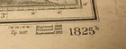
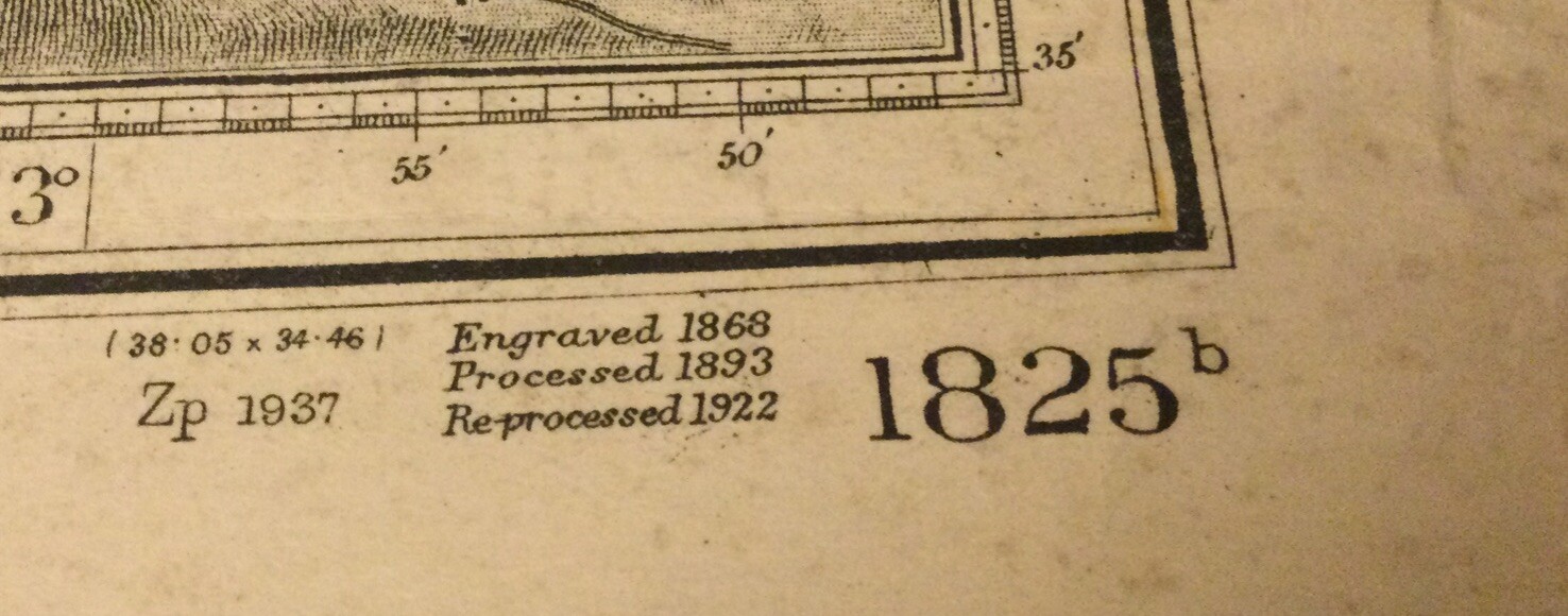
VINTAGE ADMIRALTY CHART. No.1825b, IRISH CHANNEL, SHEET II. 1920 Edition.
£40.87
or Best Offer
Condition:
- Buy it nowVINTAGE ADMIRALTY CHART. No.1825b, IRISH CHANNEL, SHEET II. 1920 Edition.
Oops! Looks like we're having trouble connecting to our server.
Refresh your browser window to try again.
Postage:
Located in: Gullane, East Lothian , United Kingdom
Delivery:
Varies
Returns:
14 days return. Buyer pays for return postage. If you use an eBay delivery label, it will be deducted from your refund amount.
Payments:
Get more time to pay. See payment informationfor PayPal Credit - opens in a new window or tab
Shop with confidence
Seller assumes all responsibility for this listing.
eBay item number:335286365578
Item specifics
- Antique
- Yes
- Date Range
- 1800-1899
- Type
- Nautical Map
- Format
- Sheet Map
- Year
- 1868
- Original/Reproduction
- Antique Original
- Cartographer/Publisher
- British Admiralty
- City
- Liverpool. Holyhead, Dublin, Wicklow, Wexford.
- Country/Region
- England, Ireland, Wales
- County
- Anglesey, Caernarfonshire, Cardiganshire, Meath, Pembrokeshire, Wexford, Wicklow
Item description from the seller
About this seller
andrewg8596
100% positive Feedback•6.3K items sold
Registered as a private sellerThereby, consumer rights stemming from EU consumer protection law do not apply. eBay buyer protection still applies to most purchases.
Seller Feedback (3,882)
- x***x (864)- Feedback left by buyer.Past monthVerified purchaseVery pleased with the condition of the item & as described…well packaged for delivery and very good communications with the seller. Minor problem with delivery…(usual courier on leave)…but now resolved.
- b***7 (1098)- Feedback left by buyer.Past monthVerified purchasereceived as described - value packaging and postage.
- p***p (213)- Feedback left by buyer.Past 6 monthsVerified purchaseWhat a great buying experience, communication was great and the whole process of buying and receiving the item was done speedily and efficiently. Packaging and postage was perfect Would 100% recommend this seller.ANTIQUE ADMIRALTY CHART. No.1864. CAMPBELTON LOCH. 1910 Edition. (#335177494231)
More to explore:
- Vintage Original 1920-1929 Date Range Antique Sheet Maps,
- Vintage Original 1920-1929 Date Range Antique Europe Sheet Maps,
- Vintage Original Chart Marine & Maritime Antiques,
- 1920-1929 Date Range Antique Sheet Maps,
- Vintage Original 1920s Decade Architectural Antiques,
- Vintage Original 1920s Decade Garden Antiques,
- Vintage Original Pre 1920 Architectural Antiques,
- Yorkshire 1920-1929 Date Range Antique Europe Sheet Maps,
- Northumberland 1920-1929 Date Range Antique Europe Sheet Maps,
- Norfolk 1920-1929 Date Range Antique Europe Sheet Maps