Picture 1 of 5


Gallery
Picture 1 of 5


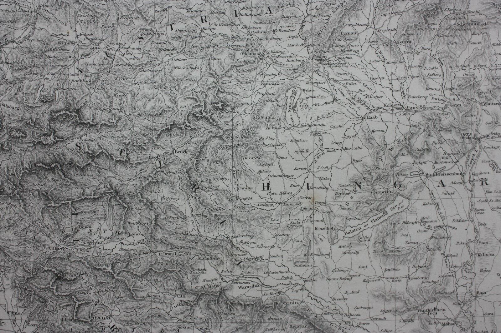

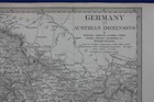
BOHEMIA, MORAVIA, HUNGARY, CENTRAL EUROPE, original antique map, SDUK, 1844

£19.00
Condition:
“Good condition. Light age toning with one or two very faint age spots. Please study all the ”... Read moreAbout condition
- Buy it nowBOHEMIA, MORAVIA, HUNGARY, CENTRAL EUROPE, original antique map, SDUK, 1844
Oops! Looks like we're having trouble connecting to our server.
Refresh your browser window to try again.
Returns:
30 days return. Buyer pays for return postage. If you use an eBay delivery label, it will be deducted from your refund amount.
Payments:
Get more time to pay. See payment informationfor PayPal Credit - opens in a new window or tab
Shop with confidence
About this item
Seller assumes all responsibility for this listing.
eBay item number:335331345194
Item specifics
- Seller notes
- Cartographer/Publisher
- SDUK
- Printing Technique
- Engraved
- Date Range
- 1800-1899
- Original/Reproduction
- Antique Original
- Country/Region
- Bohemia, Croatia, Czech Republic, Hungary, Moravia
- Era
- 1800s
- Format
- Atlas Map
- Type
- Topographical Map
- Year
- 1844
Item description from the seller
Seller business information
About this seller

Maps etc. Antique Maps & Prints
100% positive Feedback•5.7K items sold
Registered as a business seller
Seller Feedback (2,604)
- u***z (702)- Feedback left by buyer.Past 6 monthsVerified purchaseShipping - super fast. Packaging - professionally packed. Item - as described and in superb condition. Value - worth buying it. Trusted seller and business done smoothly.
- e***a (77)- Feedback left by buyer.Past yearVerified purchaseI am giving this purchase a 5-star rating, even though the map arrived more than a month late & the shipping tube had been severely mangled (no damage to the contents). Neither problem was the Seller's fault. The shipment was held by US Customs for a month (visible on the tracking documents) without explanation or contact. Seller remained in regular contact, offered to, and then refunded full purchase price during this hiatus. Upon successful delivery, Seller re-invoiced for the map, & I paid.Original antique atlas map BRITISH ISLES, GREAT BRITAIN, IRELAND, E Bowen, 1747 (#335916077525)
- 1***1 (708)- Feedback left by buyer.Past 6 monthsVerified purchaseReceived very quickly and well packaged. Item as described, excellent seller.N. IRELAND, NEWRY, CASTLEWELLAN, DUNDRUM antique road map, Taylor & Skinner 1778 (#336019391147)
More to explore:
- Antique Original Antique Central American/Caribbean Maps & Atlases,
- Antique Original Antique Europe River Maps,
- Antique Original Antique Europe Wall Maps,
- Antique Original Antique Europe Topographical Maps,
- Antique Original Antique Europe Folding Maps,
- Antique Original Antique Central America/Caribbean Topographical Maps,
- Antique Original Antique Central America/Caribbean Sheet Maps,
- Antique Original Antique Europe Thematic Maps,
- Antique Original Topographical Map Antique Europe Sheet Maps,
- Antique Original County Map Antique Europe Folding Maps
Maps etc. Antique Maps & Prints
100% positive Feedback•5.7K items sold
Registered as a business seller
Seller Feedback (2,604)
- u***z (702)- Feedback left by buyer.Past 6 monthsVerified purchaseShipping - super fast. Packaging - professionally packed. Item - as described and in superb condition. Value - worth buying it. Trusted seller and business done smoothly.
- e***a (77)- Feedback left by buyer.Past yearVerified purchaseI am giving this purchase a 5-star rating, even though the map arrived more than a month late & the shipping tube had been severely mangled (no damage to the contents). Neither problem was the Seller's fault. The shipment was held by US Customs for a month (visible on the tracking documents) without explanation or contact. Seller remained in regular contact, offered to, and then refunded full purchase price during this hiatus. Upon successful delivery, Seller re-invoiced for the map, & I paid.Original antique atlas map BRITISH ISLES, GREAT BRITAIN, IRELAND, E Bowen, 1747 (#335916077525)
- 1***1 (708)- Feedback left by buyer.Past 6 monthsVerified purchaseReceived very quickly and well packaged. Item as described, excellent seller.N. IRELAND, NEWRY, CASTLEWELLAN, DUNDRUM antique road map, Taylor & Skinner 1778 (#336019391147)