
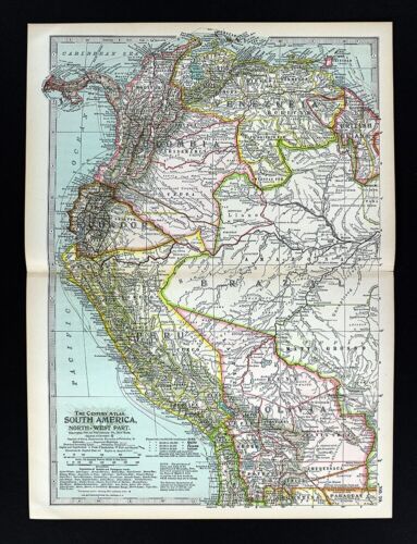
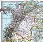
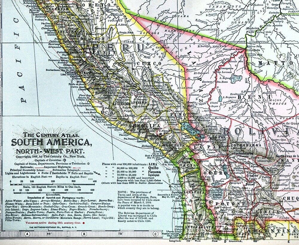
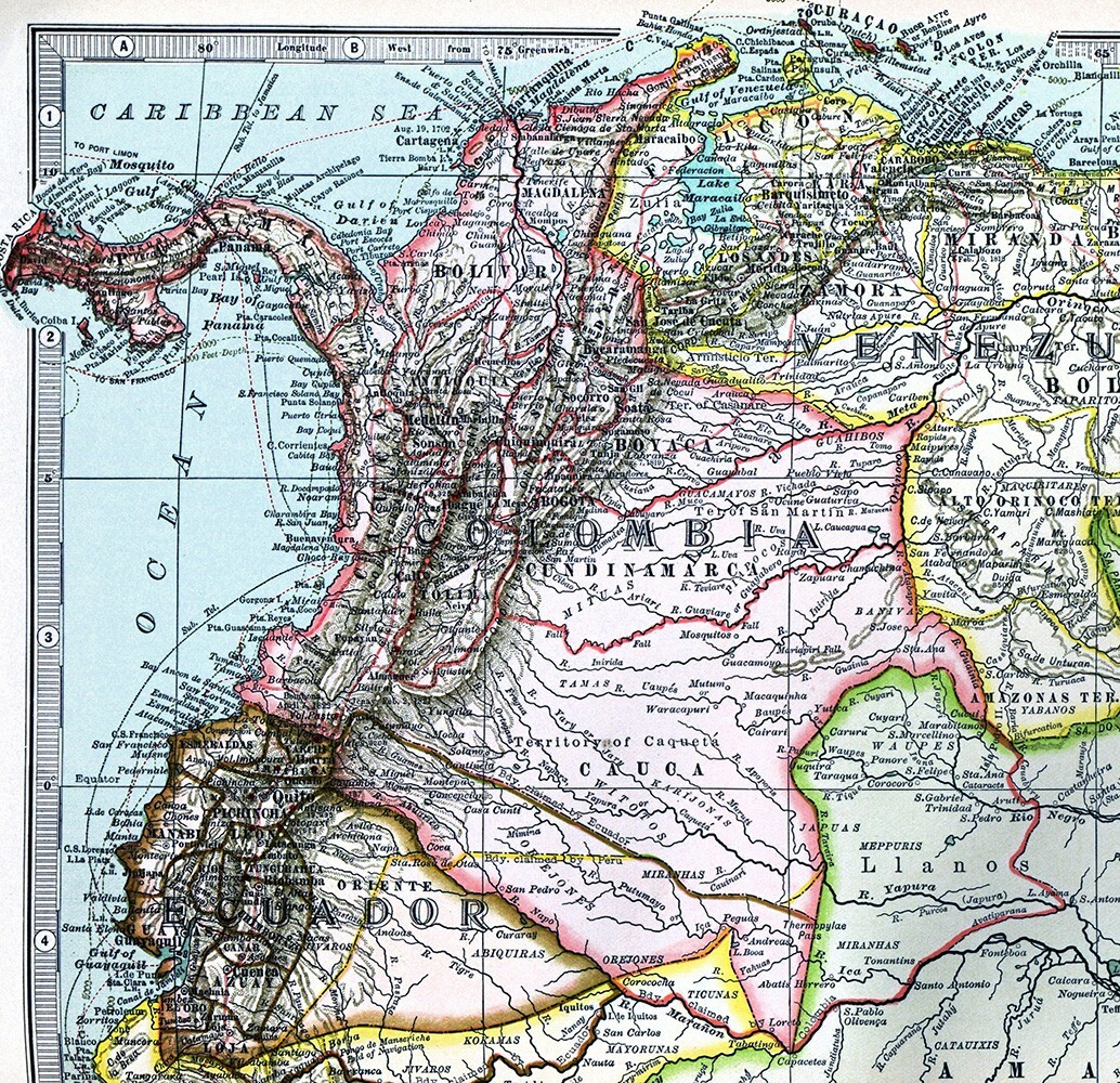
1897 Century Map South America Colombia Peru Bolivia Ecuador Brazil Amazon Lima
US $14.00US $14.00
Sun, 21 Sep, 02:12Sun, 21 Sep, 02:12
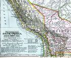
Picture 1 of 3
Gallery
Picture 1 of 3

1897 Century Map South America Colombia Peru Bolivia Ecuador Brazil Amazon Lima
US $14.00
Approximately£10.48
Was US $17.50 (20% off)
Condition:
“The entire page measures 12 by 16 1/2" page (30x42cm), see the pics and description below”
Ended: 21 Sep, 2025 02:12:26 BST
Oops! Looks like we're having trouble connecting to our server.
Refresh your browser window to try again.
Postage:
US $4.99 (approx £3.74) USPS Ground Advantage®.
Located in: Fairview, Pennsylvania, United States
Delivery:
Estimated between Sat, 18 Oct and Sat, 25 Oct to 94104
Returns:
30 days return. Seller pays for return postage.
Payments:
Shop with confidence
Seller assumes all responsibility for this listing.
eBay item number:405434960032
Item specifics
- Seller notes
- “The entire page measures 12 by 16 1/2" page (30x42cm), see the pics and description below”
- Date Range
- 1800-1899
- Type
- Political Map
- Format
- Atlas Map
- Printing Technique
- Lithography
- Year
- 1897
- Original/Reproduction
- Antique Original
- City
- Bogotá
- Country/Region
- Bolivia, Brazil, Chile, Colombia, Ecuador, Peru, Venezuela
Item description from the seller
Seller business information
Seller Feedback
No Feedback yet
More to explore:
- Antique South American Maps & Atlases Lima,
- Antique South America Sheet Maps,
- Antique South America Physical Maps,
- Antique South America Folding Maps,
- Antique South America Maps & Atlases,
- Antique South America Wall Maps,
- Antique South America Topographical Maps,
- John Bartholomew Antique South America Political Maps,
- South Carolina Charleston Antique North America Maps & Atlases,
- Copper Plate Antique Original Antique South America Maps & Atlases