
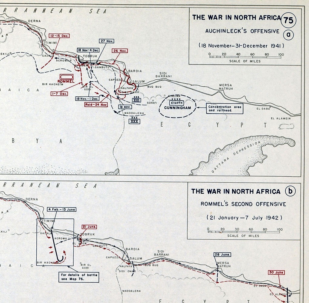
West Point WWII Map North Africa Libya Battles El Agheila Tobruk Halfaya Rommel
US $13.99US $13.99
Mon, 16 Jun, 15:00Mon, 16 Jun, 15:00
Picture 1 of 2


Gallery
Picture 1 of 2

Have one to sell?
West Point WWII Map North Africa Libya Battles El Agheila Tobruk Halfaya Rommel
US $13.99
Approximately£10.41
Was US $17.49 (20% off)
Condition:
“Excellent, on a 10 1/4 by 13 1/2 inches (27x35cm) page, see the pic and description below”
Ended: 16 Jun, 2025 15:00:00 BST
Oops! Looks like we're having trouble connecting to our server.
Refresh your browser window to try again.
Postage:
US $4.99 (approx £3.71) USPS Ground Advantage®.
Located in: Fairview, Pennsylvania, United States
Delivery:
Estimated between Wed, 30 Jul and Mon, 4 Aug to 94104
Returns:
30 days return. Seller pays for return postage.
Payments:
Shop with confidence
Seller assumes all responsibility for this listing.
eBay item number:405446975965
Item specifics
- Seller notes
- “Excellent, on a 10 1/4 by 13 1/2 inches (27x35cm) page, see the pic and description below”
- Date Range
- 1950-1959
- Type
- Thematic Map
- Format
- Atlas Map
- Printing Technique
- Lithography
- Year
- 1859
- Original/Reproduction
- Vintage Original
- Country/Region
- Egypt, Libya
Item description from the seller
Seller business information
Seller Feedback
No Feedback yet
More to explore:
- West Virginia Antique North America City Maps,
- West Virginia Antique North America Maps & Atlases,
- West Virginia Antique Original Antique North America Maps & Atlases,
- West Virginia Antique North American Maps & Atlases 1800-1899 Date Range,
- North Carolina Antique North America City Maps,
- Antique Africa Maps & Atlases,
- Antique Africa Physical Maps,
- Antique Africa Topographical Maps,
- Antique Africa Folding Maps,
- Antique Africa Political Maps