Picture 1 of 2
Stock photo

Picture 1 of 2
Stock photo
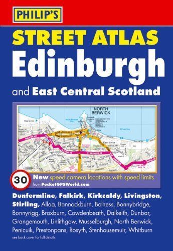
Philip's Street Atlas Edinburgh and East Central Scotland: Pocket Edition by Philip's Maps (Paperback, 2010)

momox_uk (549690)
98.3% positive Feedback
Price:
£3.70
Free postage
Returns:
30 days return. Buyer pays for return postage. If you use an eBay delivery label, it will be deducted from your refund amount.
Condition:
Jacket, cover and booklet may have just slight signs of usage but are not marked or annotated. Action & Adventure. second hand – good. More than 4 mio. Children & Family. In certain instances, the edition of a book may differ from the edition stated.
- Buy it nowPhilips Street Atlas Edinburgh and East Central Scot... | Book | condition good
Oops! Looks like we're having trouble connecting to our server.
Refresh your browser window to try again.
About this product
Product Information
This fully revised pocket-sized street atlas of Edinburgh and East Central Scotland gives comprehensive and detailed coverage of the region. The route planner shows all the A and B roads, and can be used when driving to get close to the destination before turning to the relevant large-scale street map.The street maps show every named road, street and lane very clearly, with major roads picked out in colour. The maps are at a scale of 2 2/3 inches to 1 mile, with less populated areas at a scale of 1 1/3 inches to 1 mile towards the south-east of the region. Edinburgh city centre is shown at 5 1/3 inches to 1 mile.Other information on the maps includes postcode boundaries, car parks, railway and bus stations, post offices, schools, colleges, hospitals, police and fire stations, places of worship, leisure centres, footpaths and bridleways, camping and caravan sites, golf courses, and many other places of interest. New to this edition are fixed single and multiple speed-camera locations, with corresponding speed limits.The comprehensive index lists street names and postcodes, plus schools, hospitals, railway stations, shopping centres and other such features picked out in red, with other places of interest shown in blue.Product Identifiers
PublisherOctopus
ISBN-139781849071314
eBay Product ID (ePID)178362920
Product Key Features
Number of Pages272 Pages
Publication NamePhilip's Street Atlas Edinburgh and East Central Scotland: Pocket Edition
LanguageEnglish
SubjectTransportation
Publication Year2010
TypeTravel Map
AuthorPhilip's Maps
FormatPaperback
Dimensions
Item Height206 mm
Item Weight304 g
Item Width142 mm
Additional Product Features
Country/Region of ManufactureUnited Kingdom
Title_AuthorPhilip's Maps
Series TitlePhilip's Street Atlas
All listings for this product


Ratings and reviews
Most relevant reviews
- 22 Dec, 2017
Better than the standard A-Z
A-Z shows street names, contour lines etc. This brand of street atlas shows the names of farms, big houses etc. I work as a driver and wouldn't find a lot of my addresses without this book.Verified purchase: YesCondition: Pre-owned


