Picture 1 of 2
Stock photo
![Sheffield A-Z Pocket Street Map by A-Z Maps [Sheet map, folded] - Picture 1 of 2](https://i.ebayimg.com/images/g/rFMAAeSwCClozRTF/s-l500.jpg)
![Sheffield A-Z Pocket Street Map by A-Z Maps [Sheet map, folded] - Picture 2 of 2](https://i.ebayimg.com/images/g/pbMAAeSwfI9ozRTF/s-l500.gif)
Picture 1 of 2
Stock photo
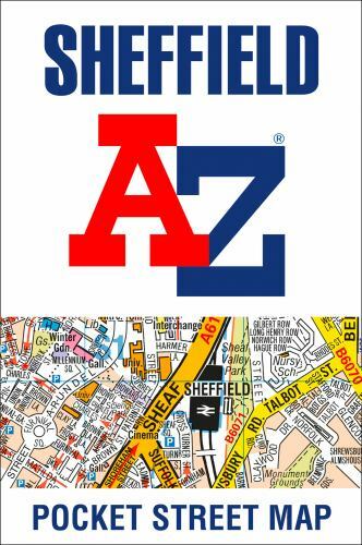
Sheffield a-Z Pocket Street Map by Geographers A-Z Map Co Ltd (2020, Sheet Map, Folded)

loveourprices2 (123916)
94% positive Feedback
Price:
£5.33
Free postage
Returns:
30 days return. Buyer pays for return postage. If you use an eBay delivery label, it will be deducted from your refund amount.
Condition:
Navigate your way around Sheffield with detailed street maps from A-Z This up-to-date, folded A-Z street map includes 3,219 streets in and around Sheffield. As well as the central shopping area, the other areas covered are Park Hill, Burngreave, Netherthorpe, Crookesmoor, Broomfield and Highfield. The large scale street map includes the following: • Places of interest • Postcode districts, one-way streets and car parks • Index to streets, places of interest, place and area names, park and ride sites, national rail stations, hospitals and hospices The perfect reference map for finding your way around Sheffield.
- Buy it nowSheffield A-Z Pocket Street Map by A-Z Maps [Sheet map, folded]
Oops! Looks like we're having trouble connecting to our server.
Refresh your browser window to try again.
About this product
Product Identifiers
PublisherGeographers' A-Z MAP Company, The Limited
ISBN-100008388091
ISBN-139780008388096
eBay Product ID (ePID)18046576086
Product Key Features
Book TitleSheffield A-Z Pocket Street Map
Publication Year2020
FormatSheet Map, Folded
LanguageEnglish
AuthorGeographers A-Z Map Co Ltd
GenreTravel, Reference
TopicAtlases, Gazetteers & Maps (See Also Travel / Maps & Road Atlases), Maps & Road Atlases (See Also Reference / Atlases, Gazetteers & Maps), Europe / Great Britain
Number of Pages2 Pages
Dimensions
Item Length5.7 in
Item Height0.2 in
Item Weight1.5 oz.
Item Width3.6 in
Additional Product Features
Intended AudienceTrade
Be the first to write a review


![NKJV Gift and Award Bible Red Letter Edition [Black] by Thomas Nelson (2018, Trade Paperback)](https://i.ebayimg.com/thumbs/images/g/YNAAAOSwpP9Y5Kmh/s-l225.jpg)


![Heartbeats: A Memoir by Björn Borg [Hardback] POSTED FREE TODAY](https://i.ebayimg.com/images/g/suMAAeSwdOdo2F3I/s-l225.jpg)


