Picture 1 of 1

Stock photo

Picture 1 of 1

Stock photo

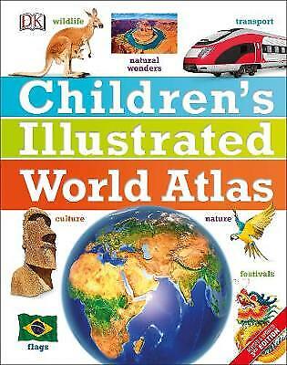
Children's Illustrated World Atlas by DK (Hardcover, 2017)
B
baham_books (2721608)
99.5% positive Feedback
Price:
£3.65
Returns:
30 days return. Buyer pays for return postage. If you use an eBay delivery label, it will be deducted from your refund amount.
Condition:
Title: Children's Illustrated World Atlas (Childrens Atlas) Item Condition: used item in a very good condition. Author: DK ISBN 10: 0241296919. Publisher: DK Children ISBN 13: 9780241296912. Edition: - List Price: -.
Oops! Looks like we're having trouble connecting to our server.
Refresh your browser window to try again.
About this product
Product Information
The whole world in your hands The stunning Children's Illustrated World Atlas takes young readers on the ultimate round-the-world trip. It not only portrays regions such as the Siberian wastes with a beautifully detailed map, it also shows and tells you what it is like to roam across them as a Nenets reindeer herder.Using stunning modern mapping, based on the latest seamless, cloud-free satellite image data together with facts, maps, satellite images, and local stories, this atlas is a global yet personal experience. From Bolivia's bustling markets to carnival in Venice, the Children's Illustrated World Atlas brings together views from windows all over the world.Product Identifiers
PublisherDorling Kindersley LTD
ISBN-139780241296912
eBay Product ID (ePID)237116569
Product Key Features
Number of Pages144 Pages
LanguageEnglish
Publication NameChildren's Illustrated World Atlas
Publication Year2017
SubjectEducation
TypeAtlas
AuthorDk
FormatHardcover
Dimensions
Item Height281 mm
Item Weight864 g
Item Width226 mm
Additional Product Features
Country/Region of ManufactureUnited Kingdom
Title_AuthorDk
All listings for this product
Ratings and reviews
Most relevant reviews
- 26 Feb, 2022
world atlas for children
very well illustrated and explained great for learning children thank youVerified purchase: YesCondition: Pre-owned


![California Nevada - Zoom Map 174: Map by Michelin [Sheet map, folded]](https://i.ebayimg.com/images/g/AyUAAeSwvEpodyZw/s-l225.jpg)


