Picture 1 of 2

Stock photo


Picture 1 of 2
Stock photo
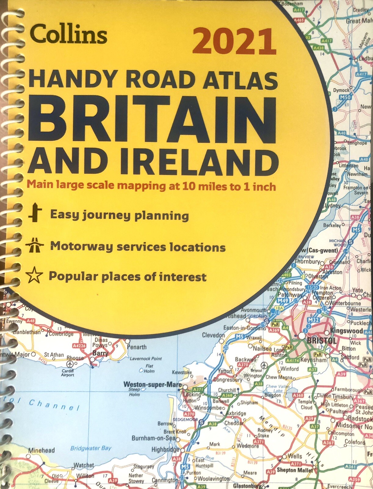

GB Road Atlas Britain 2021 Handy: A5 Spiral (Collins Road Atlas) by Collins Maps (Spiral Bound, 2020)
G
Geoff s Vintage Electronics (13270)
99.7% positive Feedback
Price:
£6.99
+ £1.55 postage
Returns:
30 days return. Buyer pays for return postage. If you use an eBay delivery label, it will be deducted from your refund amount.
Condition:
Unused condition, map in two scales, 10 miles to 1” (6.5km : 1 cm) and for urban areas 4.5 miles to 1” (2.9km to 1cm). Distance charts included for Ireland and Britain in miles and kilometres. Collection with cash welcomed by arrangement from London N10, Muswell Hill.
- Buy it nowHandy Road Atlas Britain and Ireland, Collins 2021
Oops! Looks like we're having trouble connecting to our server.
Refresh your browser window to try again.
About this product
Product Information
This easy-to-use, handy A5 sized road atlas with popular lie-flat spiral binding features extremely clear route planning maps of Britain and Ireland and fits neatly into your glove box, briefcase or bag. The atlas has been fully updated. The maps of Britain are at 9.9 miles to 1 inch (1:625,000) and the whole of Ireland is covered at 15.8 miles to 1 inch (1:1,000,000). There are also a selection of more detailed urban area maps at 4.5 miles to 1 inch (1:285,000) to aid route planning in these busy areas. Main features * Road maps that focus on the main roads, motorways and settlements. * More detailed maps of London, Manchester, Merseyside and West Midlands. * Park & Ride locations (for bus and rail). * Handy distance calculator chart highlighting distances between the major towns.Product Identifiers
PublisherHarperCollins
ISBN-139780008374396
eBay Product ID (ePID)3046522517
Product Key Features
Number of Pages80 Pages
LanguageEnglish
Publication NameGb Road Atlas Britain 2021 Handy: A5 Spiral (Collins Road Atlas)
Publication Year2020
SubjectTransportation
TypeRoad Atlas
AuthorCollins Maps
FormatSpiral Bound
Dimensions
Item Height210 mm
Item Weight130 g
Item Width154 mm
Additional Product Features
Country/Region of ManufactureUnited Kingdom
Title_AuthorCollins Maps
Series TitleCollins Road Atlas
All listings for this product


Ratings and reviews
Most relevant reviews
- 03 Feb, 2021
read ad carefuly
my fault didnt read advert properly thought it was a full size atlas not big enough for what i want thanksVerified purchase: YesCondition: New
- 21 Oct, 2020
Small Road Atlas of UK
Thought it was slightly bigger than it is so planning trip means turning quite a lot of pagesVerified purchase: YesCondition: New
- 19 May, 2021
Sat Nav..?
You can have a phone, Garmin, and car sat nav, but you still need this! Excellent.Verified purchase: YesCondition: New
- 16 Jun, 2021
Great Size Atlas
The main advantage of this Atlas is that it is a really handy size to put in the car. SatNavs are good, but frequently cannot locate a postcode you give to them.Verified purchase: YesCondition: New
- 06 Oct, 2021
Very handy size.
Ideal for my m/cycle tank bag map case.Verified purchase: YesCondition: New
- 30 Jun, 2021
Small , cheap and badly printed
Much better, bigger and more recent in Aldi for a cheaper price.Verified purchase: YesCondition: New
- 23 Jun, 2021
Great price and product
Great just what l wanted thanksVerified purchase: YesCondition: New
- 16 Sep, 2020
Road atlas Britain
My husband was highly delighted with this productVerified purchase: YesCondition: New
- 11 Nov, 2020
Good but small
Too smallVerified purchase: YesCondition: New
- 09 Dec, 2020
Good size for car
Good for the glove box.Verified purchase: YesCondition: New


