Sponsored
Sponsored
Skip to main content
Hi
!
Hello.
Sign in
or
register
Local
Daily Deals
Fashion
Help & Contact
Sell
Watchlist
Expand Watchlist
My eBay
Expand My eBay
Summary
Recently Viewed
Bids/Offers
Watch List
Purchase History
Selling
Saved feed
Saved Searches
Saved Sellers
My Garage
Preferences
Messages
Expand Notifications
Please
sign in
to view notifications.
Expand Basket
Loading...
eBay Home
Shop by category
All Categories
Search
Advanced
Sponsored
Sponsored
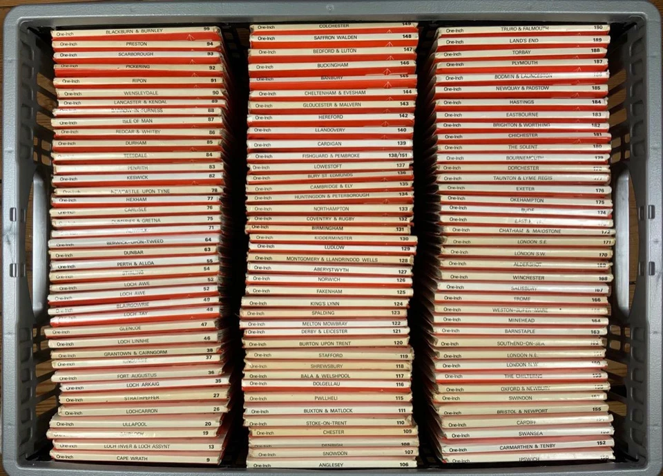
Maps & Atlases
Publication Year
Country
Pre-1700
Pre-1700
1700-1799
1700-1799
1800-1899
1800-1899
1900-1949
1900-1949
1950-1999
1950-1999
2010-Now
2010-Now
United Kingdom
United Kingdom
Scotland
Scotland
France
France
Ireland
Ireland
Germany
Germany
Canada
Canada
Northern Ireland
Northern Ireland
Italy
Italy
Best selling
See all
Boroughs of London by Matt Brown (2025, Hardcover)
£27.32 New
Ireland: Mapping the Island by Paul Ferguson and Joseph Brady (2025, Hardcover)
£22.45 New
£18.98 Used
Maps/Country (Michelin) Ser.: Malta : Map 801 by Michelin (2025, Sheet Map, Folded)
£7.84 New
£6.22 Used
Top-rated
See all
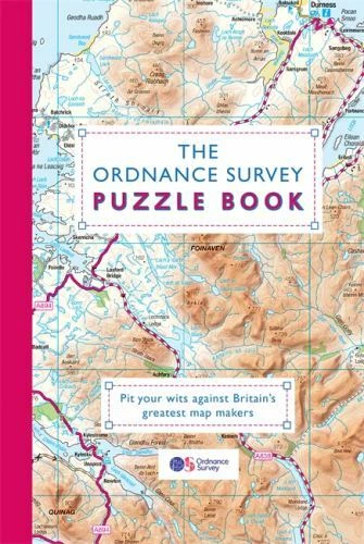
Ordnance Survey Puzzle Book : Pit Your Wits Against Britain's Greatest Map Makers by Gareth Moore (2019, Uk-Trade Paper)
(58)
87%
agree - Would recommend
£16.17 New
£2.70 Used
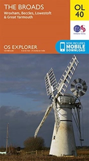
The Broads Wroxham Beccles Lowestoft Great Yarmouth OL 40 Sheet
(8)
100%
agree - Would recommend
£9.99 New
£8.80 Used
Outlander's Scotland by Phoebe Taplin (2018, Trade Paperback)
(7)
£6.53 New
£3.58 Used
Battle of Normandy by Michelin Travel & Lifestyle (2007, Sheet Map, Folded)
(7)
75%
agree - Would recommend
£7.84 New
£6.77 Used
You may also like
Adult Learning & University Books
School Textbooks & Study Guides
Language Courses
Dictionaries & Reference Books
Related searches
Atlas Book
France Atlas
Book Map
Atlas Uk
Map Geological
Pictorial Map
World Atlas
Road Map
Map Antique
Os Maps
Road Atlas USA
Atlas Antique
More to explore
1960s Maps
Aa Book of the Road in Maps & Atlases
Aa Road Atlas
Aa Road Atlas Britain
Aa Road Map
Aa Route Planner in Maps & Atlases
Bacon Map in Maps & Atlases
Bartholomew Atlas in Maps & Atlases
Bartholomew Half Inch Map in Maps & Atlases
Bartholomew Map Scotland in Maps & Atlases
Bartholomew Map in Maps & Atlases
Birmingham a Z in Maps & Atlases
Cloth Ordnance Survey Maps in Maps & Atlases
Collins World Atlas
Cycling Map
Esso Road Map in Maps & Atlases
Geographia Map in Maps & Atlases
Great Britain Road Atlas
Job Lot Maps
Lake District Map
London A To Z Map
Master Atlas London
Master Atlas Of Greater London
Michelin Map France
Michelin Map Spain
National Geographic Maps in Maps & Atlases
Nicholson Guide in Maps & Atlases
Old Bartholomew Maps
Ordnance Survey 7th Series
Ordnance Survey Maps Anglesey
Ordnance Survey Maps Devon
Ordnance Survey Maps Kent
Ordnance Survey Maps Lincolnshire
Ordnance Survey Maps Scotland
Ordnance Survey Maps Yorkshire
Ordnance Survey Reprint
Os Landranger Maps
Os Map Dartmoor
Os Outdoor Leisure Map
Pathfinder Map
Philips Map in Maps & Atlases
Philips Navigator Britain in Maps & Atlases
Philips Street Atlas in Maps & Atlases
Postcode Map
Readers Digest Atlas in Maps & Atlases
Readers Digest World Atlas in Maps & Atlases
Street Maps
Travel Scratch Map
Vintage Michelin Maps in Maps & Atlases
Vintage Road Atlas in Maps & Atlases
War Office Map in Maps & Atlases
breadcrumb
eBay
Media
Books, Comics & Magazines
Media
Books, Comics & Magazines
Textbooks, Education & Reference
Maps & Atlases
Shop by category
Textbooks, Education & Reference
Maps & Atlases
Adult Learning & University
Dictionaries & Reference
Language Courses
School Textbooks & Study Guides
All listings
Auction
Buy It Now
Best Offer
Sort: Best match
Best match
Time: ending soonest
Time: newly listed
Price + postage: lowest first
Price + postage: highest first
Distance: nearest first
List view
Gallery view
126,903 results
Sort: Best match
Best match
Time: ending soonest
Time: newly listed
Price + postage: lowest first
Price + postage: highest first
Distance: nearest first
Publication Year
2010-Now
(38,317)
2000-2009
(17,975)
1950-1999
(36,886)
1900-1949
(8,827)
1800-1899
(3,116)
1700-1799
(311)
Pre-1700
(48)
Not specified
(40,155)
Country
England
(9,966)
United Kingdom
(16,543)
Scotland
(3,818)
Wales
(3,142)
France
(1,236)
Spain
(664)
Ireland
(796)
Germany
(436)
Canada
(398)
Northern Ireland
(378)
Netherlands
(118)
United States
(1,437)
Italy
(397)
Portugal
(292)
Austria
(211)
Belgium
(207)
Switzerland
(183)
Greece
(175)
Turkey
(167)
Mexico
(153)
Type
Road Atlas
(6,978)
Hiking Map
(8,785)
Atlas
(14,945)
City Map
(8,001)
Street Map/Directory
(5,744)
Scratch Map
(308)
Geological Map
(4,120)
Cycling Map
(685)
Guide Book
(1,861)
Political Map
(740)
Postcode Map
(366)
Not specified
(81,578)
Format
Paperback
(21,185)
Hardcover
(12,071)
Book
(16,345)
Wall Map
(2,719)
Trade Paperback
(17,669)
Ring/Wire Bound
(145)
Pamphlet
(400)
Cloth Book
(157)
CD-ROM
(44)
Board Book
(40)
Leather Bound
(38)
Staple Bound
(36)
Flexi Bound
(25)
Bath Book
(15)
Faux Leather Bound
(10)
Audio CD
(4)
Cassette
(3)
Chapbook
(3)
Slides
(2)
Foam Book
(1)
Language
English
(91,116)
French
(3,569)
British English
(1,067)
German
(3,268)
Spanish
(869)
Italian
(739)
American English
(522)
Irish
(361)
Russian
(190)
Dutch
(183)
Czech
(157)
Greek
(157)
Portuguese
(144)
Anglo-Saxon
(133)
Welsh
(97)
Icelandic
(96)
Japanese
(60)
Norwegian
(58)
Swedish
(50)
Cornish
(49)
Condition
New
(45,627)
Like New
(5,610)
Very Good
(43,550)
Good
(39,511)
Acceptable
(10,086)
Not specified
(78)
Price
Under £3
£3 to £4
Over £4
Delivery options
Free international postage
Free collection in person
Filter
All Filters
Shop on eBay
$479.99
Free shipping
Shop on eBay
$479.99
Free shipping
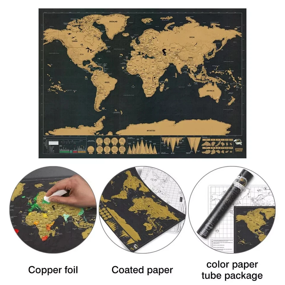
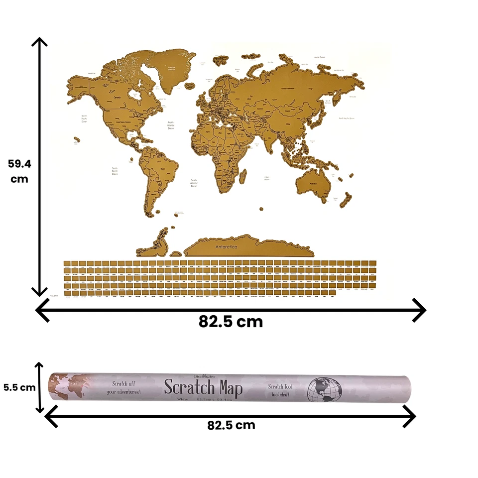
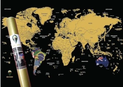
Scratch Off Map background Map Poster Travel gift Global Black Large 82.5x59.4cm
Brand new
£11.99
(£11.99/Unit)
Free international postage
Click & Collect
59 sold
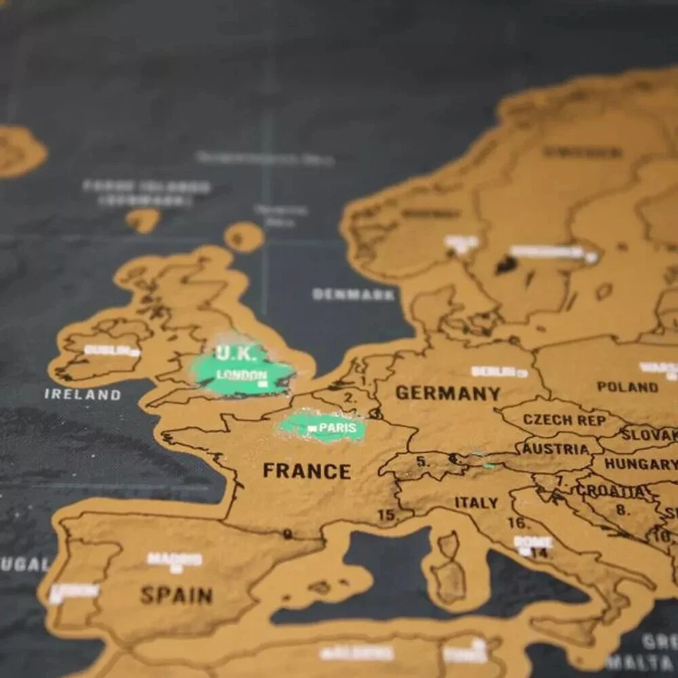
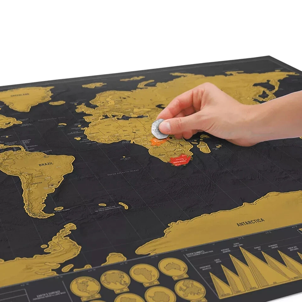
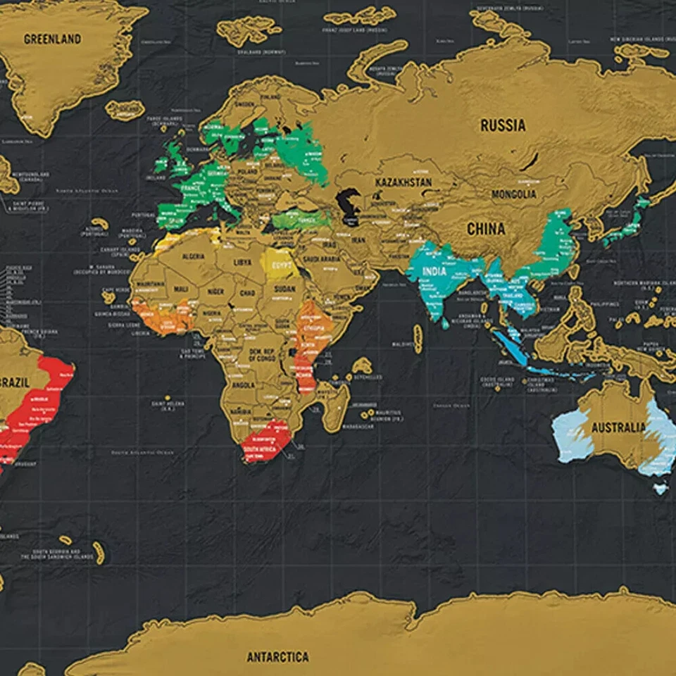
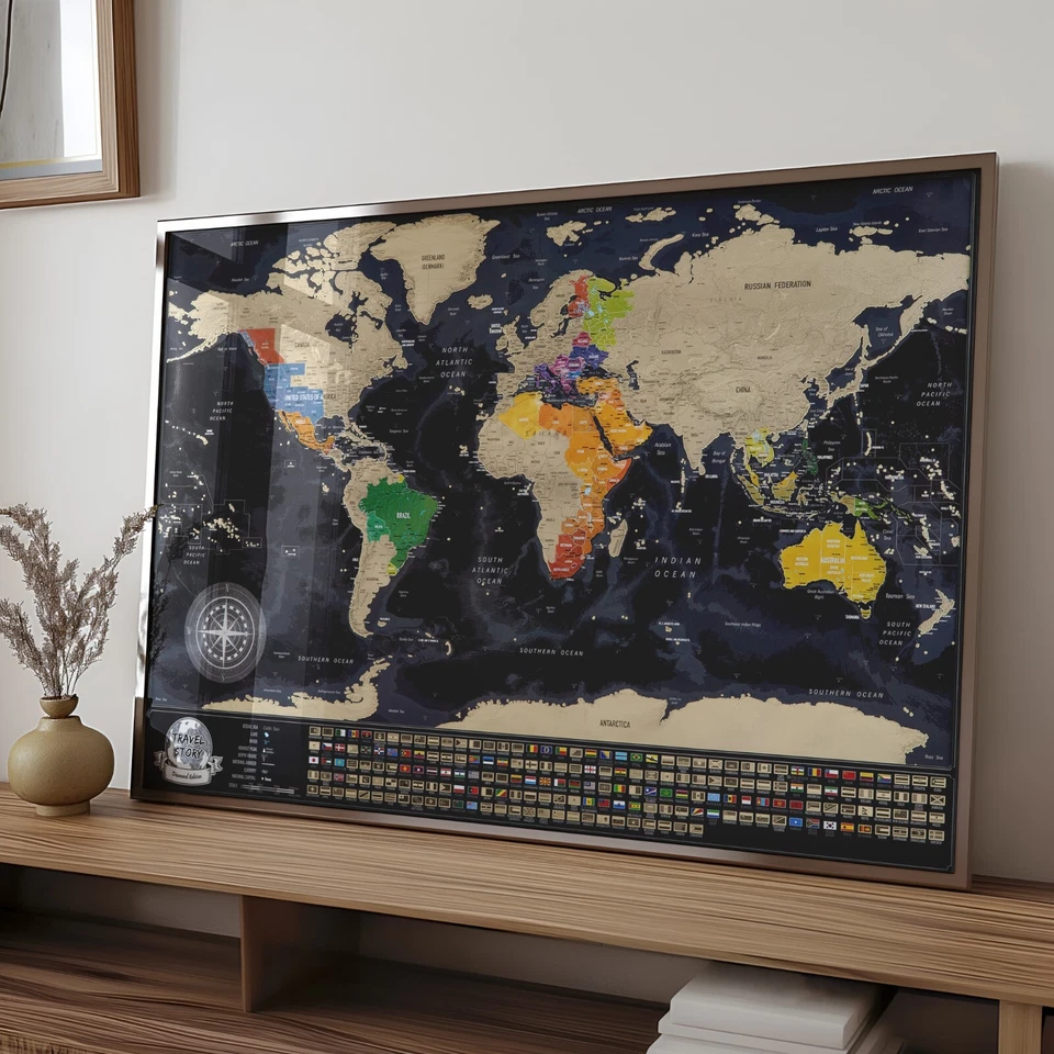
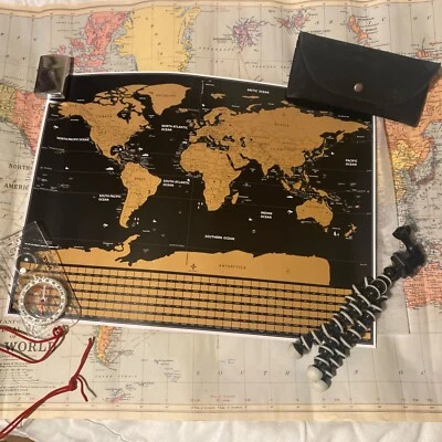
Personalized Scratch Travel Map - Scratch off World Map with Country Flags
Brand new
£22.50
(£22.50/Unit)
or Best Offer
Free international postage
66 sold
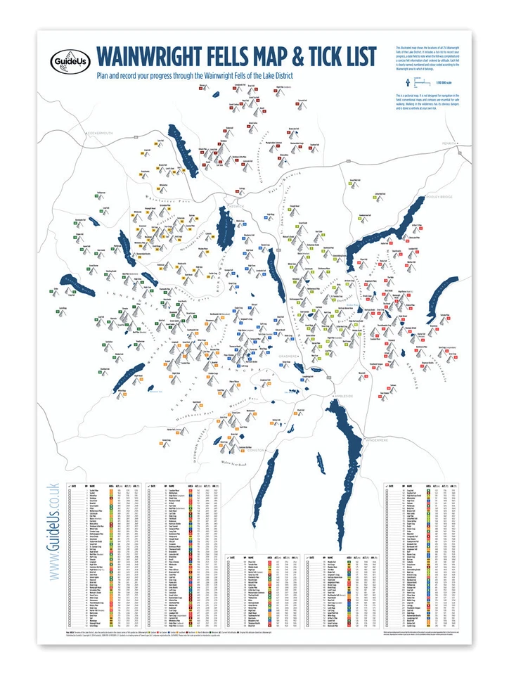
214 Wainwright Fells Map with Tick-List Guide Lake District Peak Bagging
Plan & record your progress through the Wainwrights
Brand new
£14.99
to
£16.99
Free international postage
50 sold
Gleneagles Scratch Off World Map Poster With Flags - White, Extra Large 60x85 cm
Brand new
£12.99
(£12.99/Unit)
£2.99 P&P
Click & Collect
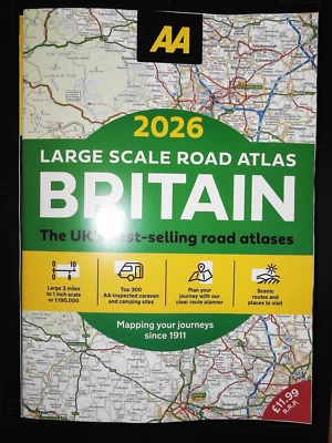
AA ROAD ATLAS BRITAIN 2026 MAP - 3 MILES TO 1 INCH LARGE - FREE TRACKED DELIVERY
Brand new
£8.99
Free international postage
3,063 sold
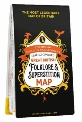
Craftily Conjured Great British Folklore And Superstition Map Christmas gift ide
Brand new
£11.99
Was:
£14.99
was - £14.99
Free international postage
Only 1 left.
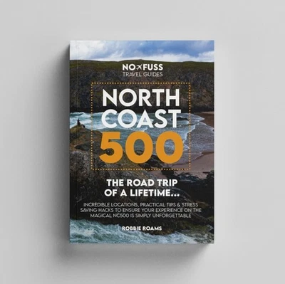
North Coast 500 The Road Trip of a Lifetime by Robbie Roams (Paperback Book)
Brand new
(9)
£16.99
Was:
£17.99
was - £17.99
Free international postage
Click & Collect
11 watching
Large Size Scratch Off World Map Poster Personalized Travel Vacation Log Gift UK
Brand new
£8.99
Free international postage
Click & Collect
3,908 sold
World Travel Map Pin Board Pins Splosh Personalised Planner Maps Cork Grey
Brand new
£29.49
(£29.49/Unit)
Free international postage
Click & Collect
World Travel Map Pin Board Pins Splosh Personalised Planner Maps Cork Black
Brand new
£29.49
(£29.49/Unit)
Free international postage
Click & Collect
Large World Physical Wall Map 1:20m, Detailed Map of Earths Physical Features
Brand new
£34.99
to
£44.99
Free international postage
Click & Collect
21 sold
Large Size Scratch Off World Map Poster Personalized Travel Vacation Log Gift UK
Brand new
£8.99
Free international postage
Click & Collect
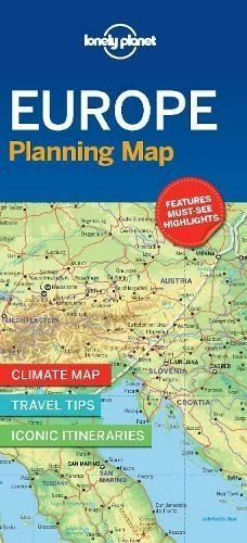
Lonely Planet Europe Planning Map by Lonely Planet Sheet map, folded
Brand new
(3)
£7.65
Free international postage
Only 2 left
Large World Map 1:20m, Detailed Political Map, Big Colourful Poster of the World
Brand new
£39.99
to
£49.99
Free international postage
Click & Collect
British Isles Physical Map - Map of Great Britain, Physical Poster of the UK
Brand new
£24.50
to
£28.50
Free international postage
Click & Collect
22 watching
Map of United States of America, USA States, Map of American States and Capitals
Brand new
£14.50
to
£19.50
Free international postage
Click & Collect
AA ROAD ATLAS BRITAIN 2026 MAP - FREE TRACKED DELIVERY - BRAND NEW EDITION
Brand new
£7.99
Free international postage
1,560 sold
AA Atlas 2025 Paperback Road Atlas UK Great Britain and Ireland
Brand new
£5.99
Free international postage
Click & Collect
63 sold
Ordnance Survey Map of ... select from list ... Coloured Edition
Pre-owned
£7.58
£2.70 P&P
A3 Scratch Off World AND UK Map with Flags background - Deluxe Edition - 2 PACK
Brand new
£14.99
(£7.50/Unit)
or Best Offer
Free international postage
Click & Collect
72 sold
World Travel Map Pin Board Pins Splosh Personalised Planner Maps Cork White
Brand new
£29.49
(£29.49/Unit)
Free international postage
Click & Collect
Lonely Planet New Zealand Planning Map by Planet Lonely | Sheet Map | 2025
Brand new
£7.50
Free international postage
Est. delivery
Fri, Dec 5
A. to Z. London Street Atlas (London Street Atlases) By Geographers' A-Z Map Co
Pre-owned
(18)
£2.88
Free international postage
703 sold
Ireland: Mapping the Island by Joseph Brady Hardback
Brand new
£22.45
Was:
£30.00
was - £30.00
Free international postage
NC500 Pocket Map: Plan Your Adventure on Scotland’S North Coast 500 Route Offici
Brand new
£5.49
Free international postage
Click & Collect
Black Scratch Off Map background Map Poster Travel gift Global Large 82.5x59.4cm
Brand new
£11.99
(£11.99/Unit)
Free international postage
Click & Collect
Vintage Ordnance Survey 7th series maps, red covers, VG, choose one or more
Pre-owned
£3.00
£2.50 P&P
902 sold
Map of Europe, European Political Wall Map, Poster of Europe
Brand new
£26.99
to
£34.99
Free international postage
Click & Collect
10 watching
London Postcode Map - Greater London Postal District Area 100 % LAMINATED (A4)
Brand new
£7.40
£1.99 P&P
Click & Collect
Global Walkabout Scratch Off World Deluxe Map A1. **Ideal Stocking Filler**
Brand new
£12.93
Free international postage
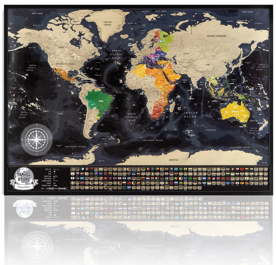
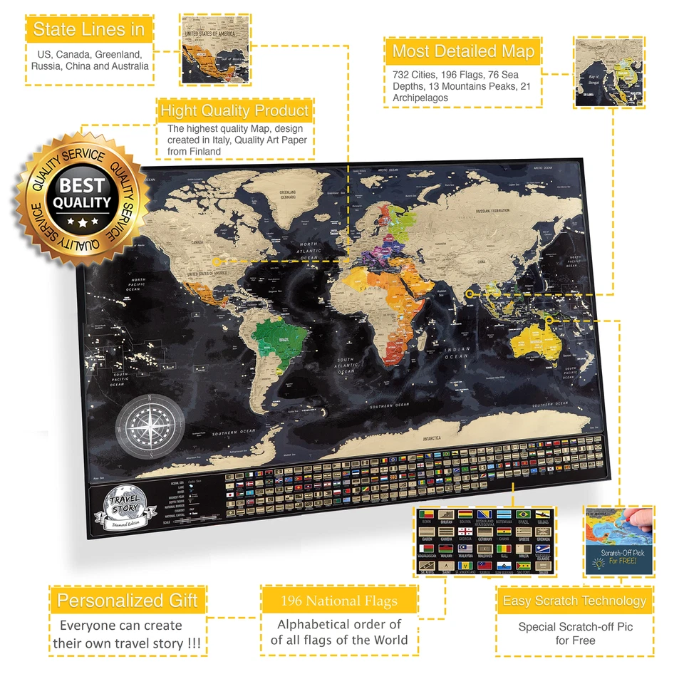
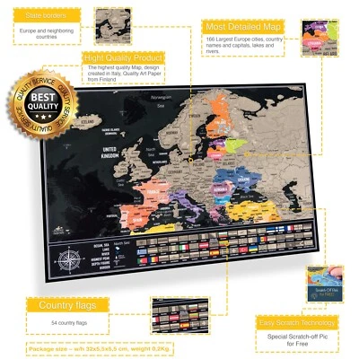
Scratch-Off Europe Map with Flags – Interactive Travel Journal and Stylish Wall
Brand new
£17.99
(£17.99/Unit)
Free international postage
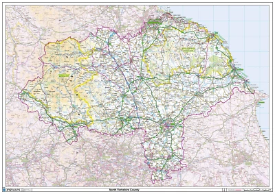
North Yorkshire Ceremonial County Map, County Map of North Yorkshire
Brand new
£24.50
to
£84.50
Free international postage
Click & Collect
UK Ireland Travel Map Pin Board Pins Splosh United Kingdom Desk Cork Maps Black
Brand new
£17.49
(£17.49/Unit)
Free international postage
Click & Collect
New Deluxe Large Scratch Off World Map Poster Personalized Travel World Toy Gift
Brand new
£3.92
or Best Offer
Free international postage
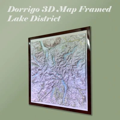
3D Lake District Map by Dorrigo - Framed in OAK
Brand new
£156.70
Free international postage
London A-Z Wall Map - Premier Edition - Borough Boundaries Postal Districts
Brand new
£29.99
Free international postage
Click & Collect
52 sold
Europe Travel Map Pin Board Pins Splosh Personalised European Desk Maps Grey
Brand new
£17.49
(£17.49/Unit)
Free international postage
Click & Collect
The Times Desktop Atlas of the World by Times Atlases (Hardback Book)
Brand new
£19.96
Was:
£25.00
was - £25.00
Free international postage
Click & Collect
az master atlas of greater london
New (other)
£21.49
Collection in person
Blank World Map, Outline of the World, Laminated draw on Poster of the World.
Brand new
£14.50
Free international postage
Click & Collect
Atlas of the World. 9781855341951
Pre-owned
£2.88
Free international postage
364 sold
Children's Illustrated Atlas (Dk Childrens Atlas) By Andrew Brooks
Pre-owned
£3.65
Free international postage
98 sold
Deluxe Scratch Off World Map Personalised Travel Poster Atlas Travel Record Gift
Brand new
£7.96
Free international postage
UK Ireland Travel Map Pin Board Pins Splosh United Kingdom Desk Cork Maps Grey
Brand new
£17.49
(£17.49/Unit)
Free international postage
Click & Collect
22 watching
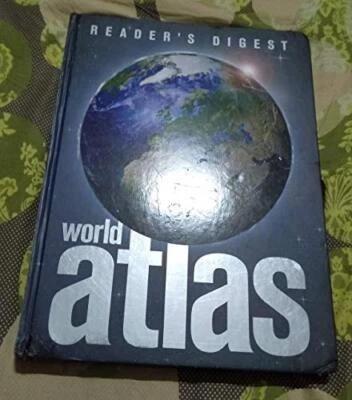
Reader's Digest World Atlas by Reader's Digest Hardback Book The Cheap Fast Free
Free UK Delivery | 10m Happy Customers | Trusted Seller
Pre-owned
£3.85
Free international postage
227 sold
Vintage Ordnance Survey Tourist Maps, black covers, VG, choose one or more
Pre-owned
£3.50
£2.50 P&P
Illustrated Atlas of the World (World Atlas) by Reader's Digest Hardback Book
Free UK Delivery | 10m Happy Customers | Trusted Seller
Pre-owned
£3.90
Was:
£29.95
was - £29.95
Free international postage
Only 2 left
Master Atlas of Greater London By Geographers A-Z Map Company
Pre-owned
(74)
£5.20
Free international postage
Only 1 left.
AA Large Scale Road Atlas Map Britain 2020. New Item. Shop Return
Brand new
£1.75
£2.95 P&P
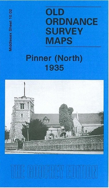
Pinner (North) 1935 or Pinner (South) 1940 Middlesex Sheets 10.02 or 10.06
Brand new
£3.50
£2.50 P&P
Stockport North, Town Centre or South 1873 Stockport Large Scale 5, 8 or 11
Brand new
£3.50
£2.50 P&P
The Times Atlas of the World: Reference Edition by Times Books Group Hardback
Free UK Delivery | 10m Happy Customers | Trusted Seller
Pre-owned
£3.50
Was:
£30.00
was - £30.00
Free international postage
399 sold
Deluxe Scratch Off World Map Personalised Travel Poster Atlas Travel Record Gift
Brand new
£9.97
Free international postage
32 sold
AA Spain & Portugal Road Atlas Map A4 Inc Balearic & Canary Islands & Azores
Brand new
(1)
£13.39
Free international postage
Click & Collect
Only 2 left
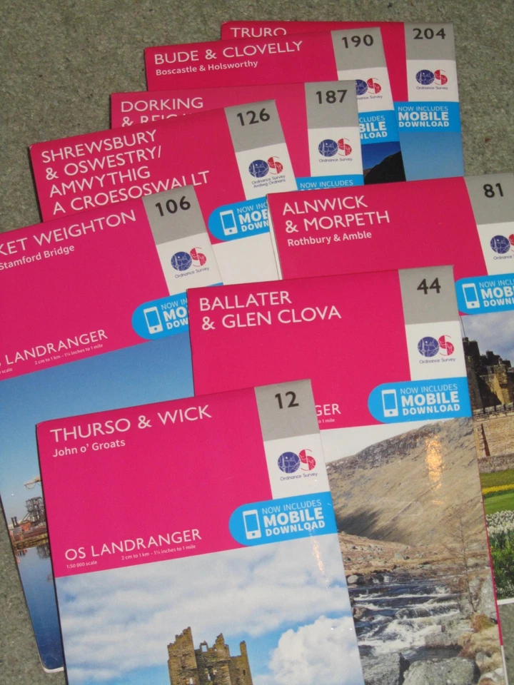
OS Ordnance survey Landranger maps, 2016-20 latest version - 'as new' condition
New (other)
£4.59
to
£4.79
£2.20 P&P
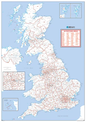
UK Postcode Map, Postcode Map of the United Kingdom, UK Postcodes
Brand new
£23.99
to
£39.99
Free international postage
Click & Collect
World A2 scratch off Map With A3 Europe Map black
Brand new
£3.31
£2.94 P&P
39 sold
Wiltshire Ceremonial County Map, County Map of Wiltshire, Poster of Wiltshire
Brand new
£24.50
to
£84.50
Free international postage
Click & Collect
Monty’s Map Scratch Travel Map Uk
Brand new
£7.58
£2.70 P&P
16 watching
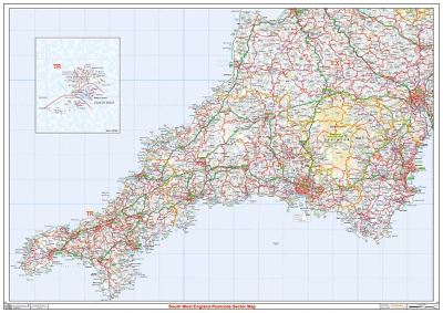
South West England Postcode Sector Map, Poster of Postcodes for SW England
Brand new
£28.50
to
£84.50
Free international postage
Click & Collect
Results Pagination - Page 1
1
2
3
4
5
6
7
8
9
10