Hi
!
Hello.
Sign in
or
register
Local
Daily Deals
Fashion
Help & Contact
Sell
Watch List
Expand watch list
My eBay
Expand My eBay
Summary
Recently Viewed
Bids/Offers
Watch List
Purchase History
Selling
Saved feed
Saved Searches
Saved Sellers
My Garage
Sizes
Messages
Expand Notifications
Please
sign in
to view notifications.
Expand Basket
Loading...
eBay Home
Shop by category
Enter your search keyword
All Categories
Search
Advanced
breadcrumb
eBay
Media
Books, Comics & Magazines
Media
Books, Comics & Magazines
Textbooks, Education & Reference
Maps & Atlases
Picture 1 of 1
Stock photo
Picture 1 of 1
Stock photo
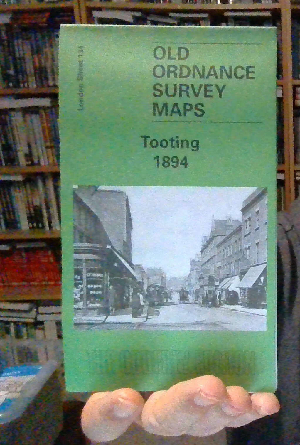
Tooting 1894: London Sheet 134 by John W. Brown (Sheet map, 1999)
GENERATIONS GONE BY EDDIE 10_10 (52560)
100% positive Feedback
Price:
£4.50
+ £2.50 postage
Estimated by
Sat, 24 May - Fri, 30 May
Estimated delivery Sat, 24 May - Fri, 30 May
Returns:
30 days return
.
Buyer pays for return postage. If you use an eBay delivery label, it will be deducted from your refund amount
.
Condition:
New
New
London Sheet 134.2 Tooting 1894 - published 1999; intro by John W Brown. London Sheet 134.3 Tooting 1913 - published 1999; intro by John W Brown.
See full description
Buy it now
MAP OF Tooting 1894: London Sheet 134.2 NEW 9781841510606
Sign in to check out
Check out as guest
Add to basket
See all details
Oops! Looks like we're having trouble connecting to our server.
Refresh your browser window to try again.
About this product
Product Identifiers
Publisher
Alan Godfrey Maps
ISBN-13
9781841510606
eBay Product ID (ePID)
91890717
Product Key Features
Publication Year
1999
Subject
Transportation
Language
English
Publication Name
Tooting 1894: London Sheet 134
Type
Travel Maps
Author
John W. Brown
Format
Sheet Map
Dimensions
Item Height
220 mm
Additional Product Features
Country/Region of Manufacture
United Kingdom
Title_Author
John W. Brown
Series Title
Old O.S. Maps of London
Topic
Local History
Show more
Show less
No ratings or reviews yet
Be the first to
write a review
Best-selling in Maps & Atlases
See all
Lonely Planet Portugal Planning Map by Lonely Planet (Sheet map, 2018)
(5)
£2.33 New
£2.33 New
---- Used
No used products available
Lonely Planet Europe Planning Map by Lonely Planet (Sheet map, 2017)
(3)
£6.98 New
£6.98 New
£5.26 Used
£5.26 Used
Lonely Planet Wales Planning Map by Lonely Planet (Sheet map, 2019)
(2)
£4.99 New
£4.99 New
£4.83 Used
£4.83 Used
Philippines: Travel Maps International Adventure Map by National Geographic Maps (Sheet map, 2012)
(4)
£13.55 New
£13.55 New
---- Used
No used products available
Basildon / Wickford (Sheet map, 2003)
£3.58 New
£3.58 New
---- Used
No used products available
MacGillycuddy's Reeks & Killarney National Park by Ordnance Survey Ireland (Sheet map, 2014)
£16.79 New
£16.79 New
---- Used
No used products available
Malaysia Travel Map Seventh Edition by Periplus Editions (Sheet map, 2012)
(2)
£8.27 New
£8.27 New
---- Used
No used products available
Save on Maps & Atlases
Trending price is based on prices over last 90 days.
Battle of Normandy - Michelin Historical Map 102 Map by Michelin 9782067002623
£6.99
Trending at
£7.86
California Nevada - Zoom Map 174 Map by Michelin 9782067190511 | Brand New
£7.03
Trending at
£7.82
Scarborough Bridlington and Flamborough Head Explorer Map 301
£10.99
Trending at
£11.35
Lincolnshire Wolds South: Ordnance Survey Explorer Map 2015 Mobile Download NEW
£11.11
Trending at
£12.06
North Pembrokeshire/Gogledd Sir Benfro Map | Pembrokeshire Coast | Ordnance Sur
£10.96
Trending at
£11.50
Spain East, Valencia, Murcia - Michelin Regional Map 577 by Michelin
£7.52
Trending at
£7.81
You may also like
Sheet and Folded Maps for European Region
Sheet and Folded Maps for UK Region
London Maps & Atlases 1950-1999 Publication Year
London Maps & Atlases
London Folding Map Maps & Atlases
London Maps & Atlases in English